Maps of Island Of Newfoundland

Maps of Island Of Newfoundland

$title$

A general chart of the island of Newfoundland with the rocks & soundings

1 : 1280000
$title$

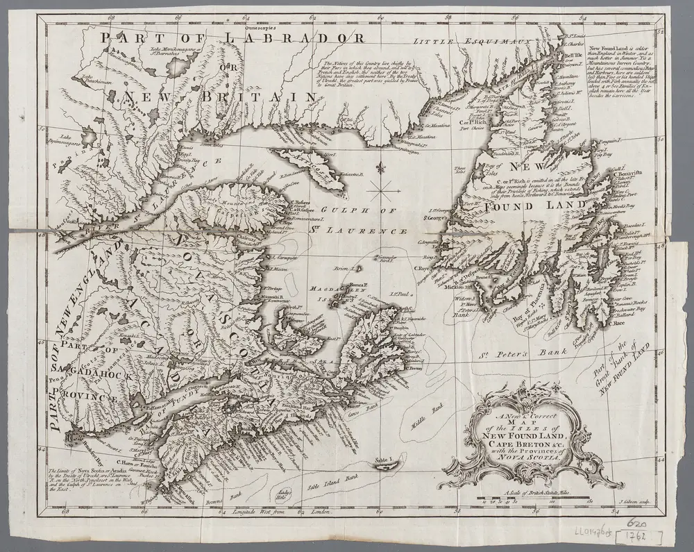
A new map of the only useful and frequented part of New Found Land

1 : 2800000
$title$

Le Isole di Terra Nuova e Capo Breton Di Nuova Projezione.

1 : 2100000 Zatta, Antonio
$title$

Newfoundland.

1 : 1584000 Stanford, Edward
$title$

Newfoundland.

1 : 1204000 Rand McNally and Company
$title$

A General Chart Of The Island Of Newfoundland.

1 : 1280000 Jefferys, Thomas
$title$

Map of Newfoundland.

1 : 3900000 Morse, Jedidiah
$title$

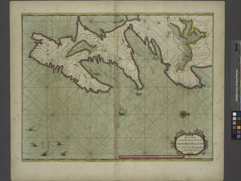
A new chart of the trading part of NEW FOUND LAND

from The sea-atlas : containing an hydrographical description of most of the sea-coasts of the known parts of the world.
$title$

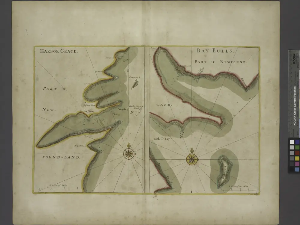
HARBOR GRACE part of new found land; BAY BULLS part of new found land

from The sea-atlas : containing an hydrographical description of most of the sea-coasts of the known parts of the world.
$title$

Province of Nova Scotia (Island of Cape Breton). Sheet no. 2.

1 : 63360 Geological Survey of Canada
$title$

Province of Nova Scotia (Island of Cape Breton). Sheet no. 3.

1 : 63360 Geological Survey of Canada
$title$

Province of Nova Scotia (Island of Cape Breton). Sheet no. 8.

1 : 63360 Geological Survey of Canada
$title$

Province of Nova Scotia (Island of Cape Breton). Sheet no. 5.

1 : 63360 Geological Survey of Canada
$title$

Province of Nova Scotia (Island of Cape Breton). Sheet no. 9.

1 : 63360 Geological Survey of Canada
$title$

Province of Nova Scotia (Island of Cape Breton). Sheet no. 6.

1 : 63360 Geological Survey of Canada
$title$

Province of Nova Scotia (Island of Cape Breton). Sheet no. 7.

1 : 63360 Geological Survey of Canada
$title$

Province of Nova Scotia (Island of Cape Breton). Sheet no. 4.

1 : 63360 Geological Survey of Canada
$title$

Carte des bayes, rades, et port de Plaisance dans l'isle de Terre-Neuve

1 : 61392 Bellin, Jacques Nicolas, 1703-1772
$title$

Carte de l'Isle St. Pierre

1 : 47323 Bellin, Jacques Nicolas, 1703-1772
$title$

Plan de la rade et port de l'Isle St. Pierre

1 : 15348 Bellin, Jacques Nicolas, 1703-1772
$title$

Province of Nova Scotia (Island of Cape Breton). Sheet no. 11.

1 : 63360 Geological Survey of Canada
$title$

Province of Nova Scotia (Island of Cape Breton). Sheet no. 10.

1 : 63360 Geological Survey of Canada
$title$

Composite: Nova Scotia 1-16.

1 : 63360 Geological Survey of Canada
$title$

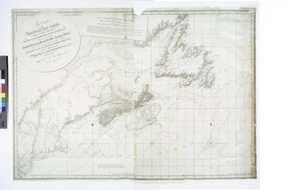
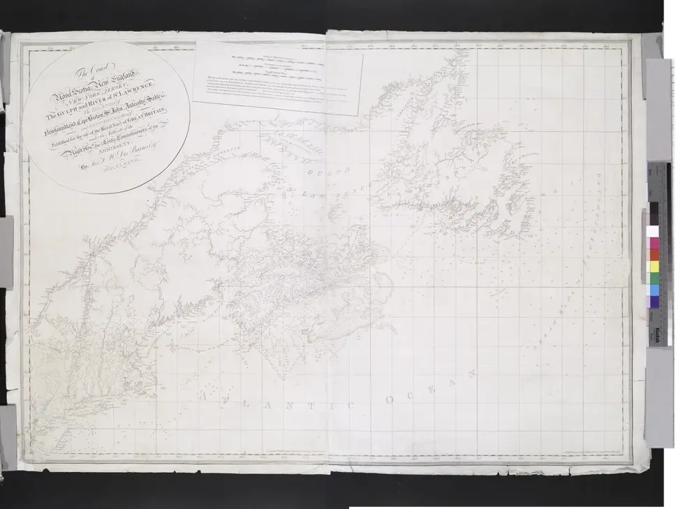
Nova Scotia And Newfoundland.

1 : 4300000 Tallis, J. & F.
$title$

Limits under fishery treaties, 1818 and 1888

1 : 2800000 Roberts, A. C., cartographe 18..-.... [Washington, D.C.] : Hydrographic Office, Navy Department, USA
$title$

Maritime Provinces & Newfoundland.

1 : 2500000 John Bartholomew & Co.
$title$

Nova Scotia, Newfoundland, &c.

1 : 2350000 Cary, John, ca. 1754-1835
$title$

New Found Land, St. Laurence Bay, Acadia, New Scotland.

1 : 4800000 Moll, Herman, d. 1732
$title$

British North America. Sheet I, East.

1 : 2407680 Fullarton, A. & Co.
$title$

Newfoundland, Nova Scotia, New Brunswick, Cape Breton and Prince Edward Islands.

1 : 2759000 Schonberg & Co.
© MapTiler © OpenStreetMap contributors
How does it work?
These instructions will show you how to find historical maps online.
Getting started
Type the place name in the search box to find the exact location. You can further adjust the search by zooming in and out.
Zoom
Zoom in and out with the buttons or use your mouse or touchpad natively.
Exact Area tool
Click here and draw a rectangle over the map to precisely define the search area.
Set filters
Narrow your search with advanced settings, such as Years (from/to), Fulltext, Publisher, etc.
Results
See the results of your search on the right side. You can scroll down to find more maps of this location.
?

Download OldMapsOnline Mobile