Cataloged map
Parte dell'Asia Minore per servire di VI foglio della carta generale dell'Ungheria e della Turchia Europea


Full title:Parte dell'Asia Minore per servire di VI foglio della carta generale dell'Ungheria e della Turchia Europea
Depicted:1788
Physical Size:20 x 30 cm
Map scale:1:1
Parte dell'Asia Minore per servire di VI foglio della carta generale dell'Ungheria e della Turchia Europea
1788
1:1
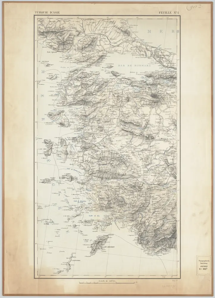
Feuille No. 1, uit: Carte de la Turquie d'Asie (moins l'Arabie) / dessiné et héliogravé au Service géographique de l'Armée
1897
Service géographique de l'Armée
1:1m
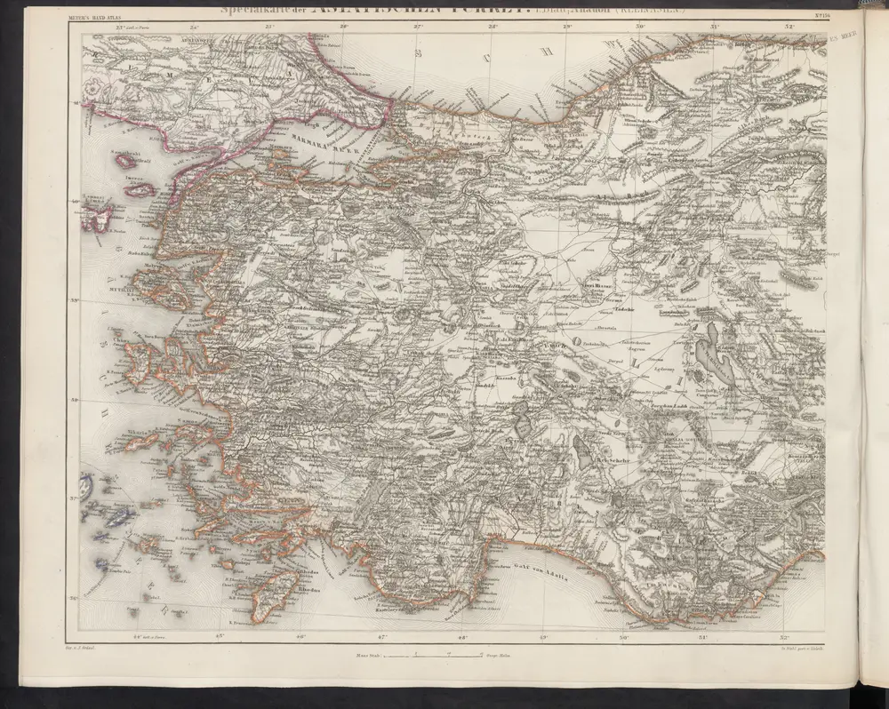
[Specialkarte der Asiatischen Türkey, I. Blatt; Anadoli (Kleinasien)]
1860
Meyer, J.
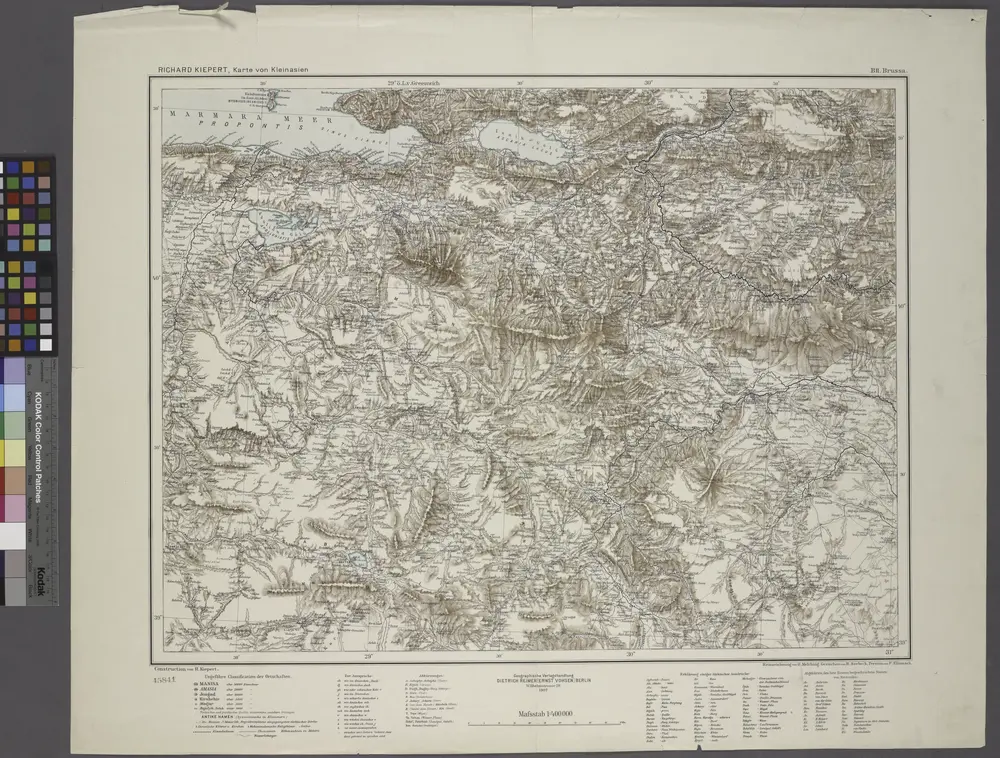
B2. Brussa. / bearbeitet von Richard Kiepert. 1902-1916.
1904
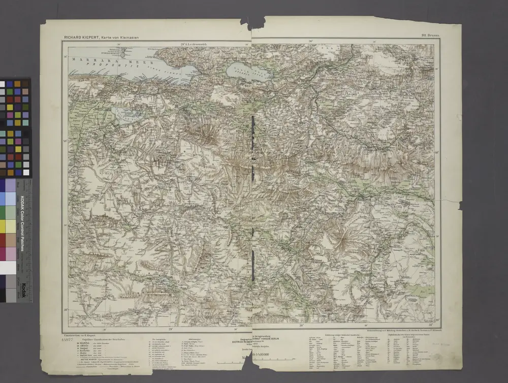
B2. Brussa. / bearbeitet von Richard Kiepert. 1902-1916.
1908

Karte von Griechenland
1791
Anville, Jean-Baptiste Bourguinon d'
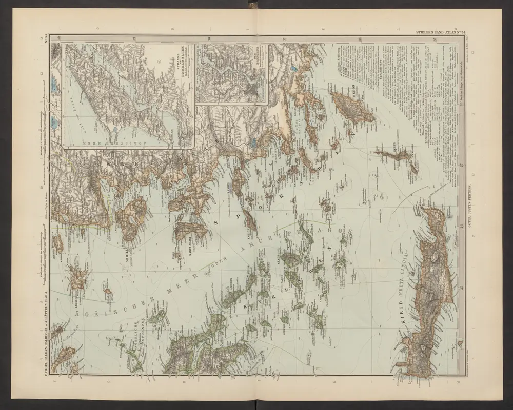
[Die Balkan-Halbinsel, Blatt 4]
1892
Stieler, Adolf
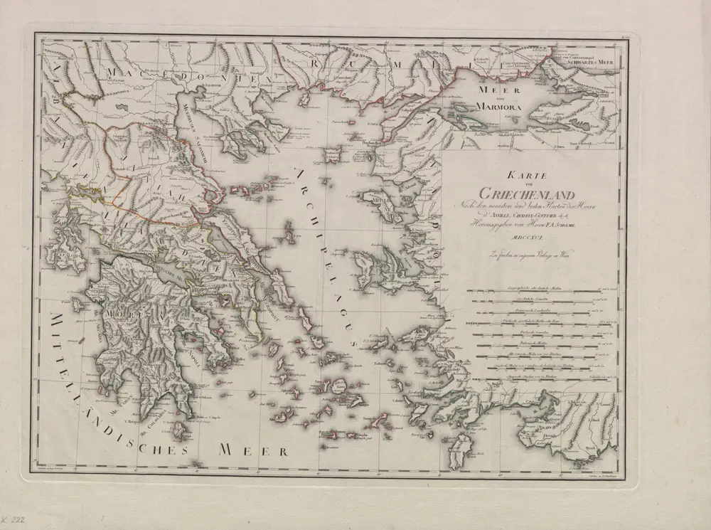
Karte von Griechenland. Nach den neuesten und besten Karten des Herrn d'Anville, Choiseul-Gouffier etc. etc. Herausgegeben von F. A. Schraembl. Entworfen von M. Votesky. Gestochen von K. Schindelmayer
1791
Anville, Jean Baptiste Bourguignon; Choiseul-Gouffier, Marie-Gabriel-Auguste-Florent; Schraembl, Franz Anton; Votésky, Michael; Schindelmeyer, Karl Robert
1:1m
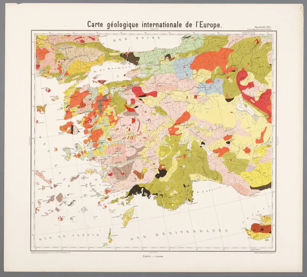
Feuille 40 (E VI), uit: Carte géologique internationale de l'Europe : la carte, votée au congrès géologique international de Bologne en 1881, est exécutée conformément aux décisions d'une commission internationale, avec le concours des gouvernements, sous le dir. de M.M. Beyrich et Hauchecorne
1881
Heinrich Ernst Beyrich 1815-1896; Wi. Hauchecorne
萬國通鑑:古希利尼
1892
Sheffield, Devello Zelotos 謝衛樓