Cataloged map
Carta particolare dell'Isole Fillipine è di Luzon


Full title:Carta particolare dell'Isole Fillipine è di Luzon
Depicted:1646
Physical Size:20 x 30 cm
Map scale:1:2 000 000
Chart of the Philippine Islands, from the Spanish chart in 1808, the adjacent islands are added from the lastest surveys
1812
Arrowsmith, Arron
1:2m
REDUZIRTE-KARTE VON DEN PHILIPPINEN und den SULU INSELN
1832
Berghaus, Heinrich Karl Wilhelm
1:2m
Mapa de las yslas Philipinas
1744
1:3m
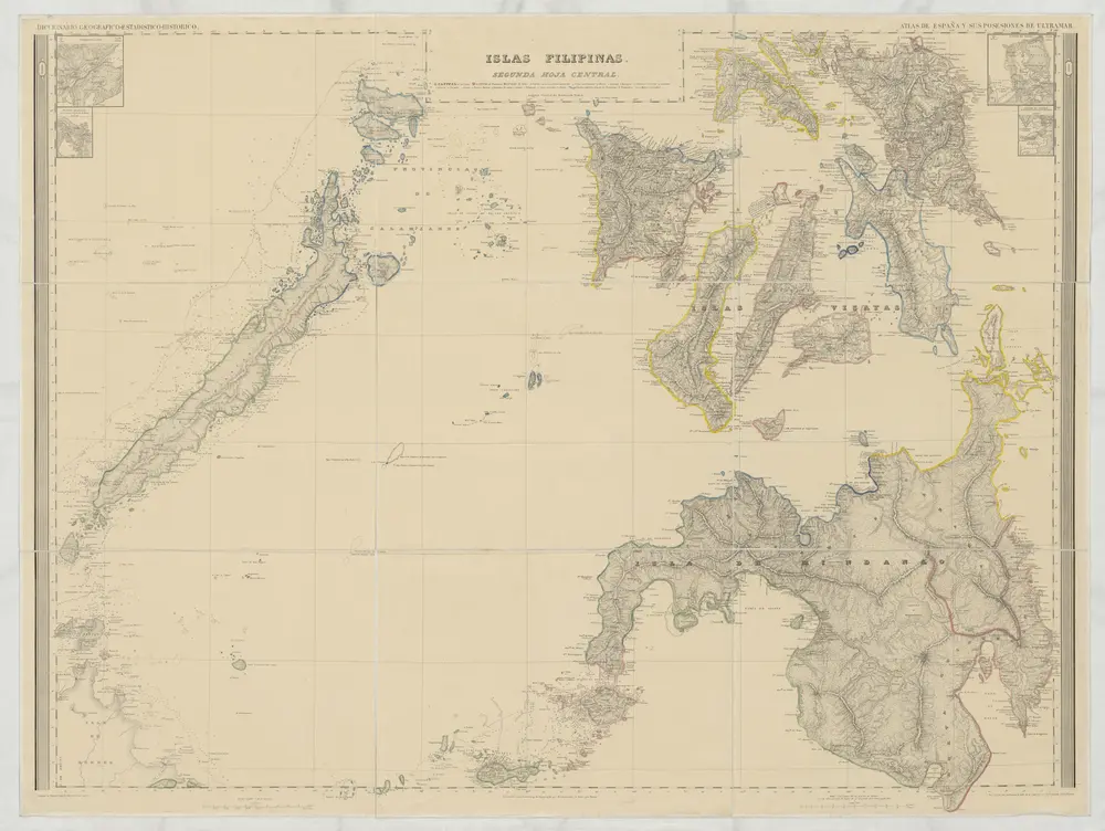
[Islas Filipinas, Segunda Hoja Central]
1852
Morata, Antonio
1:1m
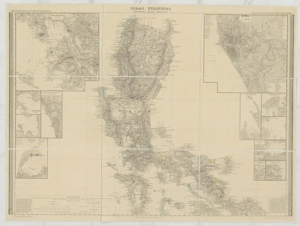
[Islas Filipinas, Primera Hoja Central]
1852
Morata, Antonio
1:1m
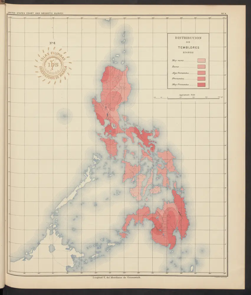
[Islas filipinas - distribution de temblores]
1900
Algué, P. José
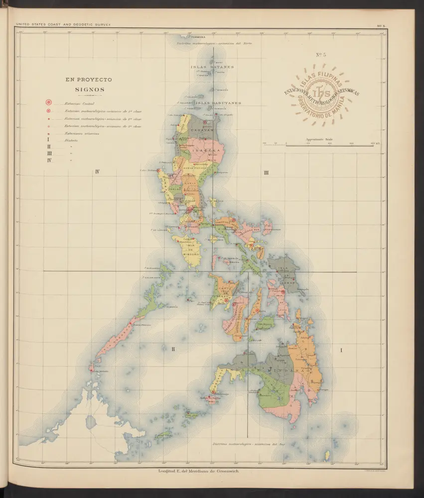
[Islas filipinas - estaciones meteorologico-seismicas]
1900
Algué, P. José
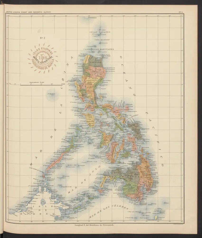
[Islas filipinas - mapa general]
1900
Algué, P. José
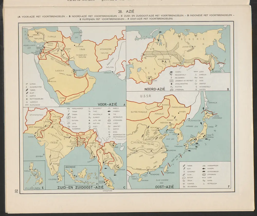
Filipijnen [E]
1956
Arnoldus Johannes Cornelius Krafft (1892-)
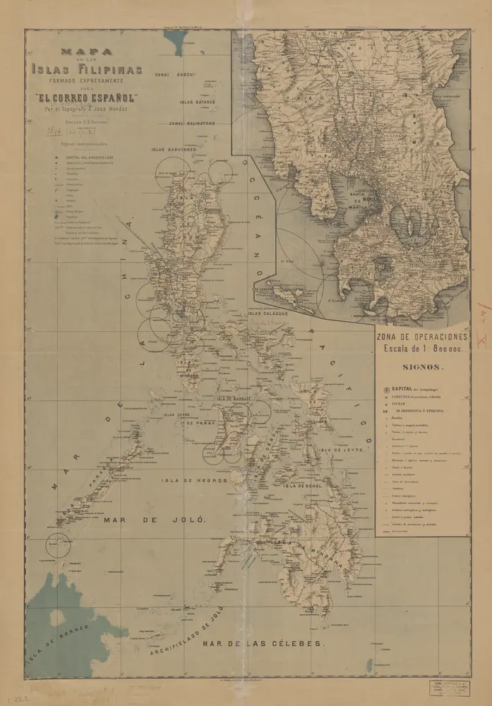
Mapa de las Islas Filipinas : formado expresamente para "El Correo Espaÿûnol" / por el topografo D. José Mendez
1896
Madrid : Mendez