Cataloged map
Lo Stato Veneto da terra diviso nelle sue provincie, quarta parte che compren de porzioni del Dogado e dell' Istria.


Full title:Lo Stato Veneto da terra diviso nelle sue provincie, quarta parte che compren de porzioni del Dogado e dell' Istria.
Depicted:1791
Physical Size:20 x 30 cm
Map scale:1:536 000
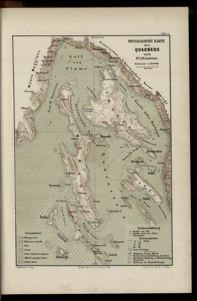
Physikalische Karte des Quarnero nach Dr. J. R. Lorenz
1883
Freytag, Gustav
1:580k
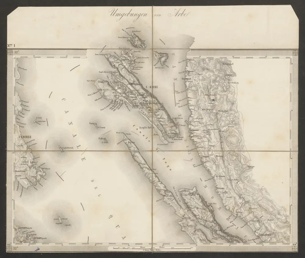
Umgebungen von Arbe
1869
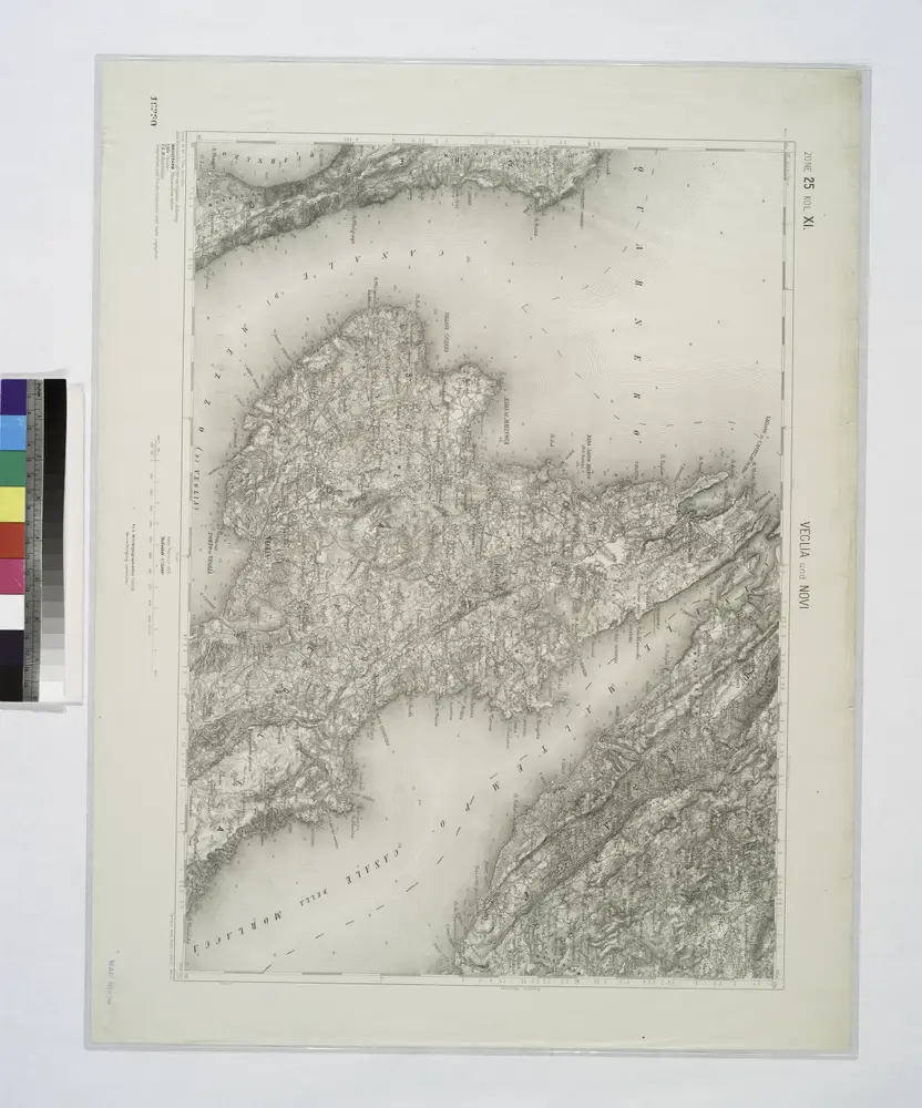
Veglia und Novi.
1914
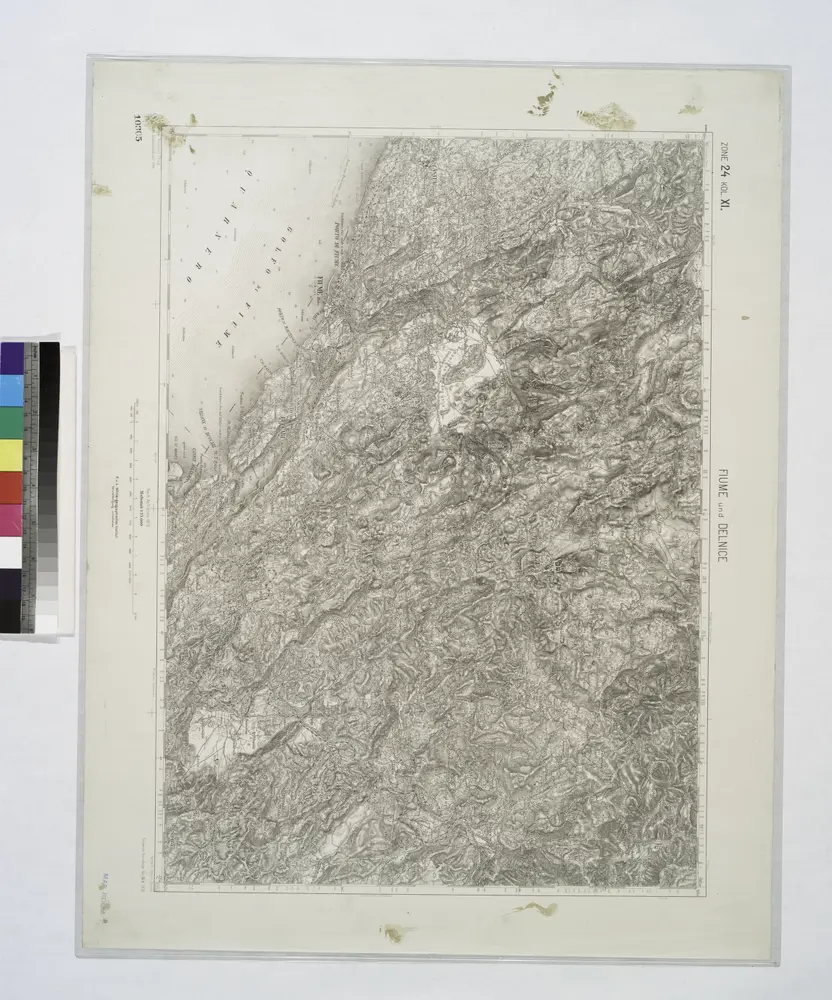
Fiume und Delnice.
1914
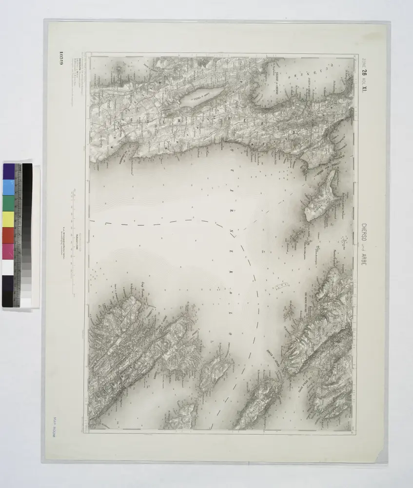
Cherso und Arbe.
1914
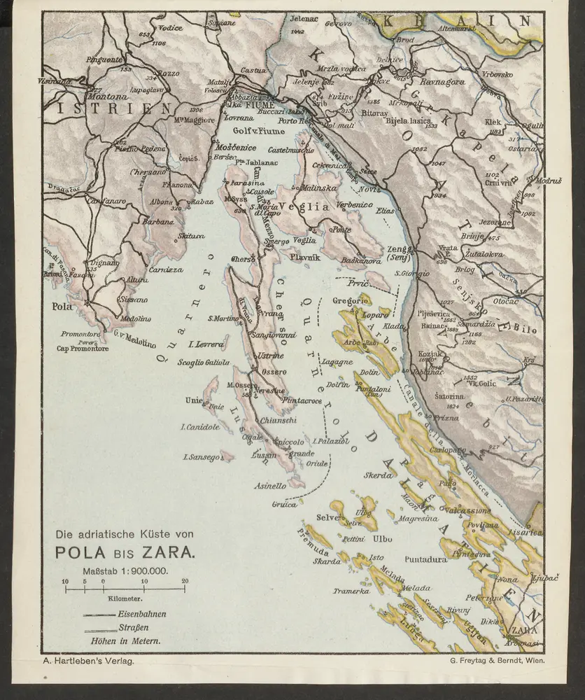
Die adriatische Küste von Pola bis Zara
1913
1:900k
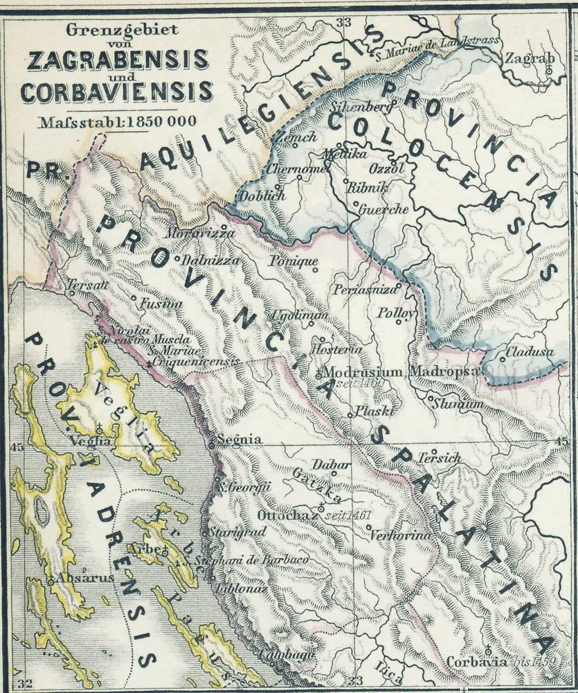
Grenzgebiet von Zagrabiensis und Corbaviensis
1880
1:2m
Adriatisches Meer, Küsten-Karte
1903
Oesterreicher, Tobias von
1:180k
Skelet-Karte für Curs-Skizzen
1918
K. u. k. Kriegs-Marine
Goritiae, Karstii, Chaczeolae, Carniolae, Histriae, et Windorvm marchae descrip
1579
Lazius; Ortelius
Goritiae, Karstii, Chaczeolae, Carniolae, Histriae, et Windorvm marchae descrip
1573
Lazius; Ortelius