编目地图
Diocese de l'archevesche de Bourges


完整标题:Diocese de l'archevesche de Bourges
描述:1678
物理尺寸:20 x 30 cm
地图比例尺:1:211 000
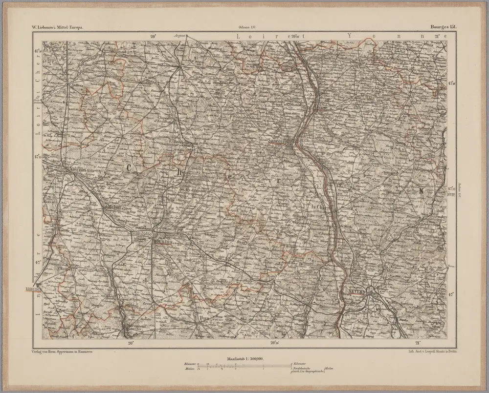
Bourges 151, uit: [W. Liebenow's Special-Karte von Mittel-Europa]
1870
Johannes Wilhelm Liebenow 1822-1897
1:300k
Govvernement de Bourges
1638
Sebastian Cramoisy
[Bourges]
1761
Le Roy
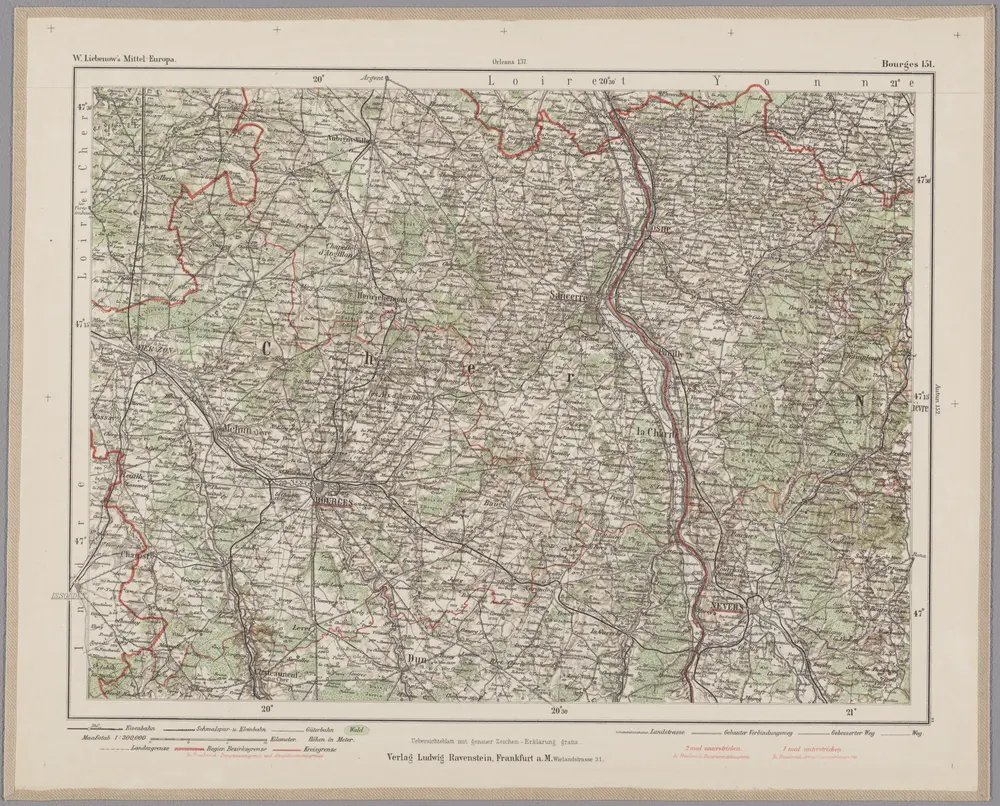
Bourges 151, uit: Special-Karte von Mittel-Europa / nach amtlichen Quellen bearbeitet von W. Liebenow
1899
Johannes Wilhelm Liebenow 1822-1897
1:300k
Diocese de l'archevesche de Bourges
1678
1:211k
Département du Cher
1790
Houdan; Dumez
Département du Cher
1796
Capitaine
n/a
1791
La generalité de Paris, 3
1725
chez l'auteur
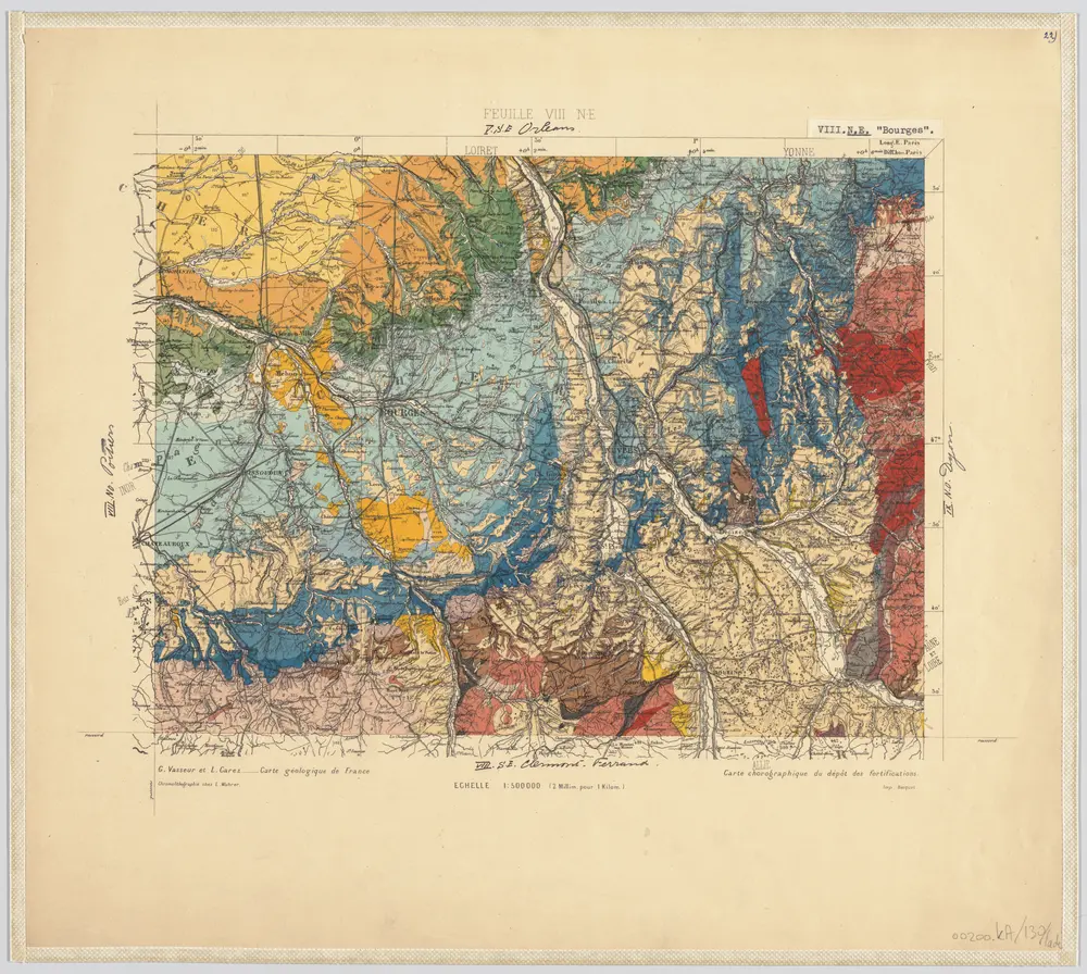
22) VIII.N.E. ''Bourges'', uit: Carte géologique de France
1885
[S.l : s.n.]
1:500k