Maps of Cumberland Plat.

Map of the south western part of the United States
1 : 5300000 Virtue, Yorston & Co.
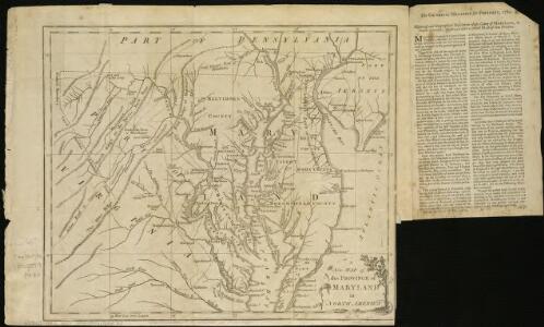
A New map of the province of Maryland in North America
1 : 1170000 Hinton, John
Sheet 3: United States of Nth. America.
1 : 1584000 Tardieu, P.F.
Soil Map of the United States, Section 7. Atlas of American Agriculture.
1 : 2500000 Marbut, Curtis F.
Railway Map of the Southern States, showing the Railway Lines, their Stations and intermediate distances between Louisville and the Gulf of Mexico and Southern Atlantic Coast, etc. Scale of miles, 20 to one inch.
Railway Map of the Southern States, showing the Railway Lines, their Stations and intermediate distances between Louisville and the Gulf of Mexico and Southern Atlantic Coast, etc.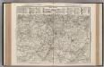
AutoTrails Map, Missouri, Arkansas, Kentucky, Tennessee.
1 : 1626000 Rand McNally and Company
County map of Kentucky and Tennessee.
from Mitchell's new general atlas, containing maps of the various countries of the world, plans of cities, etc., embraced in fifty-three quarto maps., forming a series of eighty four maps and plans, together with valuable statistical tables.
The State of Tennessee.
from Carey's general atlas, improved and enlarged : being a collection of maps of the world and quarters, their principal empires, kingdoms, &c.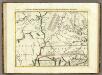
Il Paese de' Cherachesi, con la Parte Occidentale della Carolina Settentrionale.
1 : 2100000 Zatta, Antonio
Shell Sectional Map No. 7 - South Central States.
1 : 1710720 Shell Oil Company
Map of the state of Missouri and territory of Arkansas.
1 : 2217600 Mitchell, Samuel Augustus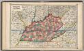
Kentucky and Tennessee,
1 : 2150000 Schonberg & Co.
Missouri, Arkansas.
1 : 2276000 Finley, Anthony
E. United States 6.
1 : 1774080 Letts, Son & Co.
Kentucky, Tennessee, Mississippi, Alabama.
1 : 1584000 Smith, J. Calvin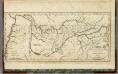
Map of the Tennassee (sic) Government.
1 : 1900800 Winterbotham, W.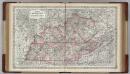
Kentucky and Tennessee.
1 : 1500000 Colton, G.W.
Map of the Tennessee Government.
1 : 3294720 Morse, Jedidiah
Kentucky and Tennessee.
1 : 1860000 Colton, G.W.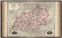
Kentucky And Tennessee.
1 : 1518000 Johnson, A.J.
Neueste Karte von Tennessee
Grosser Hand-Atlas über alle Theile der Erde in 170 Karten Meyer, J. Verlag des Bibliographischen Instituts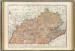
Kentucky, Tennessee.
1 : 1180000 Rand McNally and Company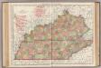
Kentucky, Tennessee.
1 : 1140000 Rand McNally and Company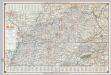
Shell Highway Map of Kentucky, Tennessee.
Shell Oil Company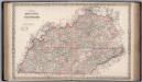
Kentucky and Tennessee.
1 : 1267000 Colton, G.W.
Missouri, Ill., Ky., Tenn., Ala., Miss., Ark.
1 : 1770000 Society for the Diffusion of Useful Knowledge (Great Britain)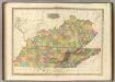
Kentucky And Tennessee.
1 : 1140480 Tanner, Henry S.
State of Kentucky.
1 : 1500000 Winterbotham, W.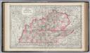
Kentucky and Tennessee.
1 : 1500000 Colton, G.W.