Gecatalogiseerde kaart
Carte des Isles du Cap Verd = Kaart van de Eilanden van Kabo Verde, geschikt volgens de Daghregisters, en Aanmerkingen, der ervaarendste Zeelieden


Volledige titel:Carte des Isles du Cap Verd = Kaart van de Eilanden van Kabo Verde, geschikt volgens de Daghregisters, en Aanmerkingen, der ervaarendste Zeelieden
Jaar illustratie:1747
Fysieke grootte:20 x 30 cm
Schaal kaart:1:1 600 000
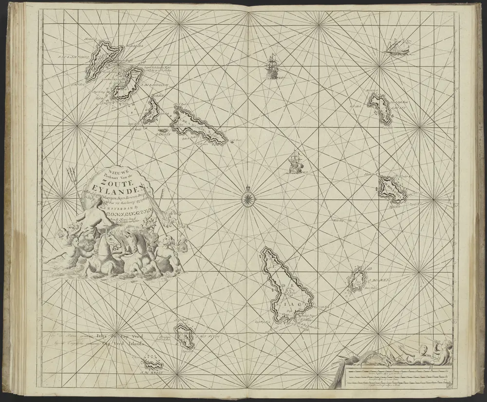
Insulae de Cabo Verde Olim Hesperides sive Gorgades: Belgice de zoute eylanden
1709
1:1
Insulae Promontorii Viridis, Hispanis, Issas Cabo Verde, Belgis, De Soute Eylanden
1662
1:885k
Carte des Isles du Cap Verd = Kaart van de Eilanden van Kabo Verde, geschikt volgens de Daghregisters, en Aanmerkingen, der ervaarendste Zeelieden
1747
1:2m
De Nieuwe Groote Ligtende Zee-Fakkel, 't Vyfde Deel. ... (etc.), uitgegeven door Johannes van Keulen.
1749
Johannes van Keulen
Insulae de Cabo Verde Olim Hesperides sive Gorgades: Belgice de zoute eylanden
1709
1:1
Carte des Isles du Cap Verd = Kaart van de Eilanden van Kabo Verde, geschikt volgens de Daghregisters, en Aanmerkingen, der ervaarendste Zeelieden
1747
1:2m
Les Isles du Cap-Verd
1749
1:2m
Isles Du Cap-Verd = Die Inseln von Capo Verde
1685
1:350k
Insulae Capo Viridis
1681
1:1
Isles du Cap Verd
1676
1:4m