Maps of Massachusetts
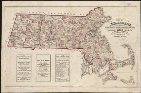
Map of Massachusetts to accompany the Massachusetts register & business directory
[Map] of the state of Massachusetts
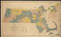
Map of senatorial districts of Massachusetts, as established by the legislature of 1886
Map of Massachusetts
Russell's map of Massachusetts
Massachusetts.
1 : 685000 Buchon, J. A. C.; Carey, H. C.; Lea, I.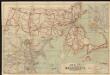
Map of Massachusetts
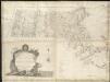
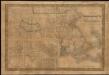
An accurate map of the Commonwealth of Massachusetts exclusive of the District of Maine, compiled pursuant to an act of the General Court from actual surveys of the several towns &c. taken by their order, exhibiting the boundary lines of the Commonwealth
Massachusetts.
1 : 590000 Rand McNally and Company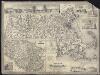
Map of Massachusetts
A new map of Massachusetts compiled from the latest and best authorities

Map Of The State Of Massachusetts.
1 : 158400 Borden, Simeon
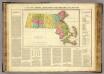
A map of Massachusetts showing the congressional districts, as proposed by the Senate of 1852

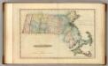
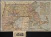
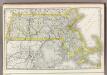
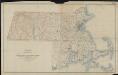
Massachusetts and Rhode Island.
1 : 785000 Colton, G.W.
Map of Massachsuetts showing state highways laid out & petitioned for
The Matthews-Northrup up-to-date map of Massachusetts

Carte géographique, statistique et historique de Massachusetts
Map of Massachusetts proper

Mass., R.I.
1 : 1000000 Cram, George Franklin; Davis, Ellis Arthur
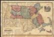
Massachusetts and Rhode Island.
1 : 1000000 Mitchell, Samuel Augustus
Massachusetts and Rhode Island.
1 : 1000000 Mitchell, Samuel Augustus
Massachusetts.
1 : 1150000 Finley, Anthony
Map of Massachusetts and Rhode Island
1 : 810000 Desilver, Charles Desilver, Charles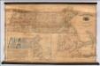
Map Of Massachusetts
1 : 158400 Borden, Simeon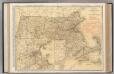
Massachusetts.
1 : 444000 Rand McNally and Company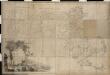
Map of Massachusetts proper compiled from actual surveys made by order of the General Court
Topographic map of Massachusetts and Rhode Island
1 : 250000 Geological Survey (U.S.) Geological Survey (U.S.)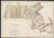
Massachusetts

National topographic map of Massachusetts and Rhode Island : showing counties, townships, cities, villages and post offices ... according to the latest census.
1 : 253440 National Map Company National Map Company