Carte cataloguée
Berkshire XXXV.14 (includes: Cold Ash; Newbury; Thatcham) - 25 Inch Map


Institution:National Library of Scotland
Titre complet:Berkshire XXXV.14 (includes: Cold Ash; Newbury; Thatcham) - 25 Inch Map
Année de l'image:1910
Date de publication:1911
Éditeur:Ordnance Survey
Échelle de la carte:1:2 500

Hungerford (Hills) - OS One-Inch Revised New Series
1901
Ordnance Survey
1:63k

Hungerford (Outline) - OS One-Inch Revised New Series
1893
Ordnance Survey
1:63k
The fourth sheet of an actual survey of Berkshire
1761
John Rocque
The fifth sheet of an actual survey of the countys of Berks Oxford and Bucks
1761
John Rocque
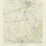
Oxford and Newbury - OS One-Inch Map
1956
Ordnance Survey
1:63k
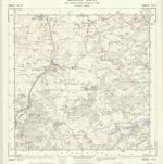
SU57 - OS 1:25,000 Provisional Series Map
1938
Ordnance Survey
1:25k
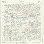
SU56 - OS 1:25,000 Provisional Series Map
1938
Ordnance Survey
1:25k
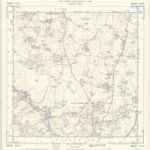
SU47 - OS 1:25,000 Provisional Series Map
1956
Ordnance Survey
1:25k
SU46 - OS 1:25,000 Provisional Series Map
1956
Ordnance Survey
1:25k
SU37 - OS 1:25,000 Provisional Series Map
1956
Ordnance Survey
1:25k