Skatalogowana mapa
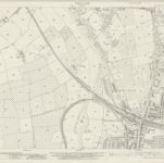
Worcestershire XLII.15 (includes: Charlton; Evesham; Norton and Lenchwick) - 25 Inch Map

Instytucja:National Library of Scotland
Pełny tytuł:Worcestershire XLII.15 (includes: Charlton; Evesham; Norton and Lenchwick) - 25 Inch Map
Rok ilustracji:1938
Data publikacji:1938
Wydawca:Ordnance Survey
Skala mapy:1:2 500