Cataloged map
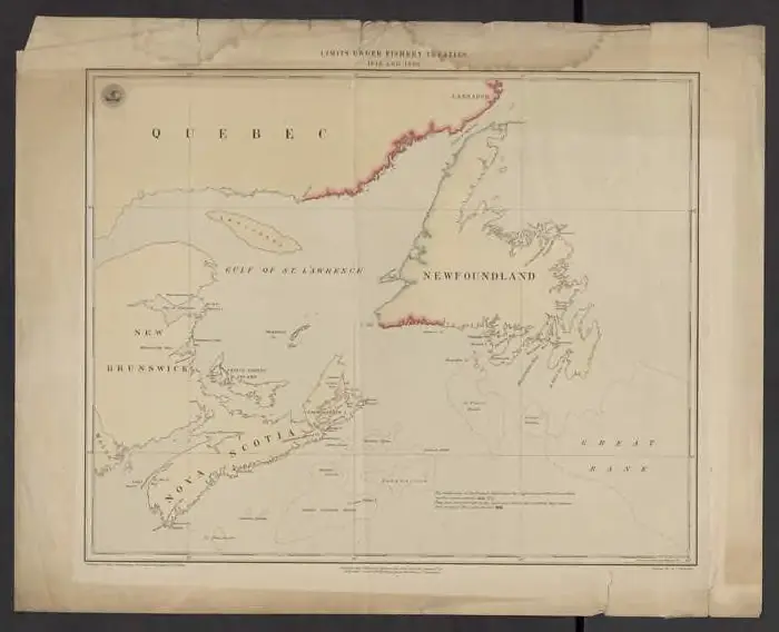
Limits under fishery treaties, 1818 and 1888

Institution:Bordeaux Montaigne University
Full title:Limits under fishery treaties, 1818 and 1888
Depicted:1888
Pubdate:1888
Publisher:[Washington, D.C.] : Hydrographic Office, Navy Department, USA
Map scale:1:2 800 000