خريطة مفهرسة
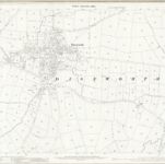
Leicestershire X.9 (includes: Castle Donington; Long Whatton) - 25 Inch Map

المؤسسة:National Library of Scotland
العنوان الكامل:Leicestershire X.9 (includes: Castle Donington; Long Whatton) - 25 Inch Map
مصورة:1882
تاريخ النشر:1884
الناشر:Ordnance Survey
مقياس الخريطة:1:2 500