Mappa catalogata
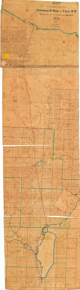
Map of the location of the Chicago St. Paul and F. du L. R. R. : from Fond du Lac to the state line at BruleÌ River, Wis.

Istituzione:Wisconsin Historical Society
Titolo completo:Map of the location of the Chicago St. Paul and F. du L. R. R. : from Fond du Lac to the state line at BruleÌ River, Wis.
Anno di illustrazione:1857
Scala della mappa:1:120 000


