Mappa catalogata
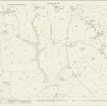
Lancashire LIV.9 (includes: Alston; Hothersall; Ribchester) - 25 Inch Map

Istituzione:National Library of Scotland
Titolo completo:Lancashire LIV.9 (includes: Alston; Hothersall; Ribchester) - 25 Inch Map
Anno di illustrazione:1910
Data di pubblicazione:1912
Editore:Ordnance Survey
Scala della mappa:1:2 500