Cataloged map
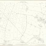
Lancashire LIX.10 (includes: Lytham St Annes; Westby With Plumpton) - 25 Inch Map

Institution:National Library of Scotland
Full title:Lancashire LIX.10 (includes: Lytham St Annes; Westby With Plumpton) - 25 Inch Map
Depicted:1909
Pubdate:1911
Publisher:Ordnance Survey
Map scale:1:2 500