

Katalogisierte Karte
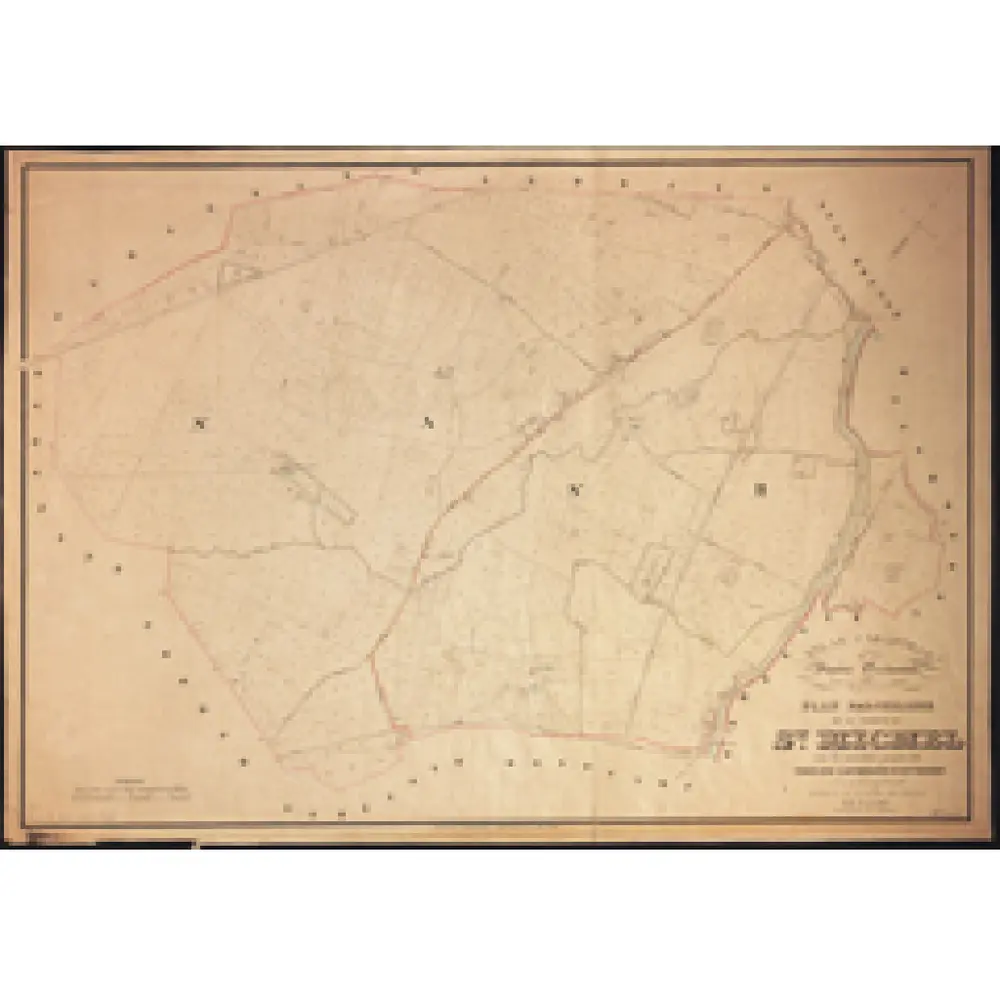
Plan parcellaire de la commune de St Michel : avec les mutations jusqu'en 1842

Einrichtung:Royal Library of Belgium
Vollständiger Titel:Plan parcellaire de la commune de St Michel : avec les mutations jusqu'en 1842
Jahr der Abbildung:1840 - 1880
Herausgeber:Popp, Philippe Christian (1805-1879)
Maßstab der Karte:1:5 000