Proyecto
Comunidad
Noticias
Mi aplicación
Mis mapas
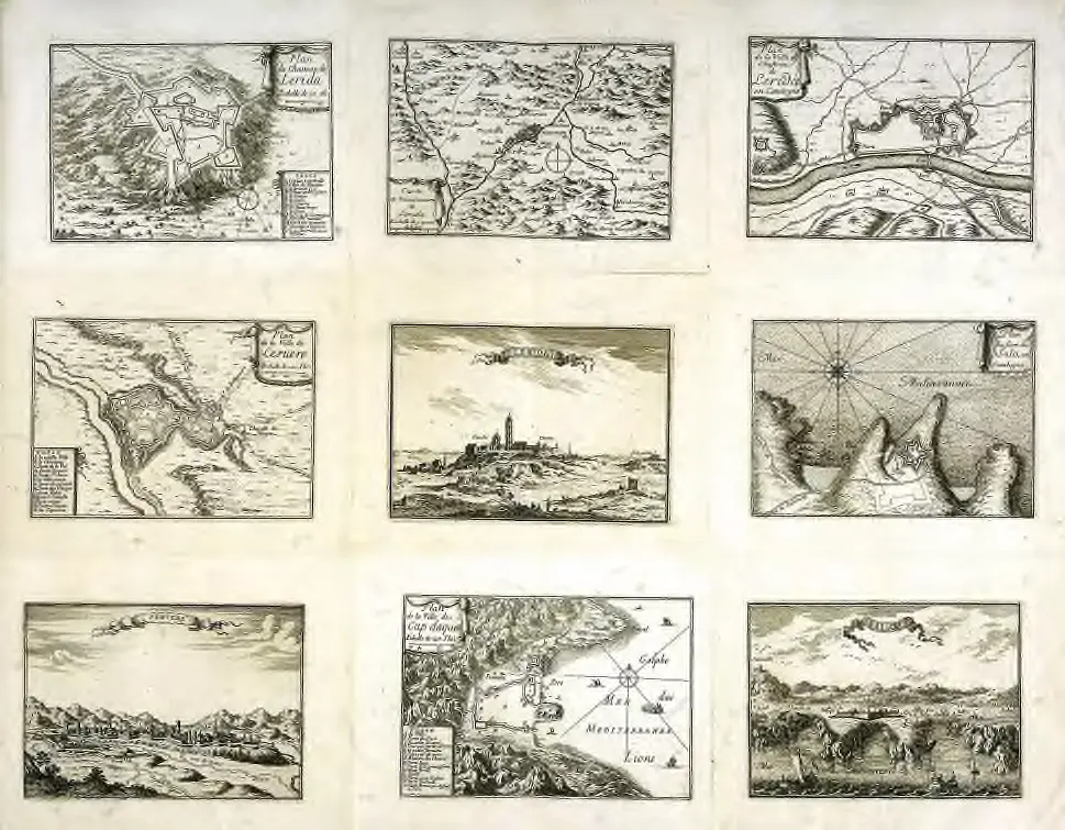
Cataloged map
Plan du chasteau de Lerida
Ver en sitio web externo
Institution:
University Library of Bern
Full title:
Plan du chasteau de Lerida
Depicted:
1665 - 1680
Publisher:
s.n.
Catálogo
University Library of Bern
biblio.unibe.ch
Historia