Gecatalogiseerde kaart
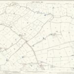
Warwickshire XVI.11 (includes: Astley; Bedworth; Corley; Keresley) - 25 Inch Map

Instelling:National Library of Scotland
Volledige titel:Warwickshire XVI.11 (includes: Astley; Bedworth; Corley; Keresley) - 25 Inch Map
Jaar illustratie:1886
Pubdatum:1888
Uitgever:Ordnance Survey
Schaal kaart:1:2 500