Carte cataloguée
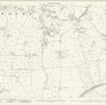
Lancashire LXXVII.4 (includes: Chorley; Heapey; Wheelton; Whittle Le Woods) - 25 Inch Map

Institution:National Library of Scotland
Titre complet:Lancashire LXXVII.4 (includes: Chorley; Heapey; Wheelton; Whittle Le Woods) - 25 Inch Map
Année de l'image:1909
Date de publication:1911
Éditeur:Ordnance Survey
Échelle de la carte:1:2 500