Maps
History
Project
Community
My maps
编目地图
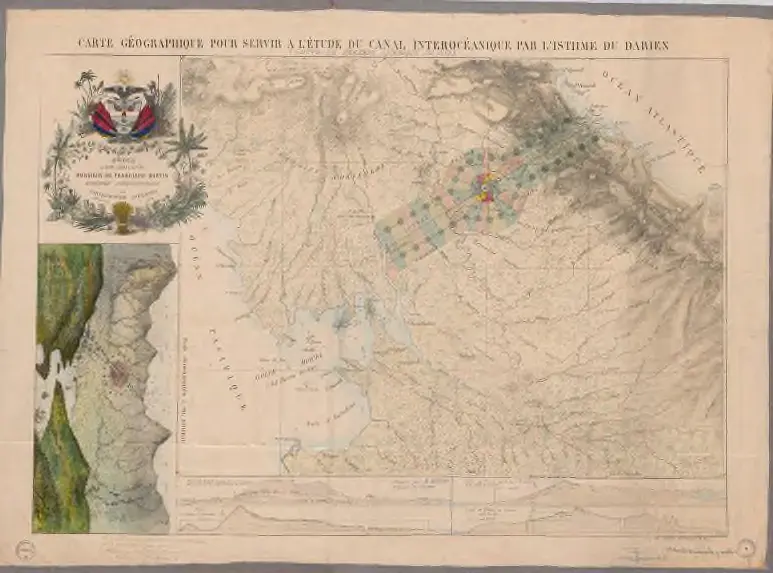
Carte Géographique pour servir à l’étude du canal interocéanique
View on external website
机构:
National Library of Colombia
完整标题:
Carte Géographique pour servir à l’étude du canal interocéanique
描述:
1859 - 1860
发布日期:
1859 - 1860
出版商:
Lithographie Compan
地图比例尺:
1:200 000
History