Mappa catalogata
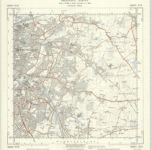
Staffordshire LIX.10 (includes: Fazeley; Tamworth; Wiggington) - 25 Inch Map
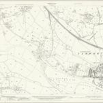

Istituzione:National Library of Scotland
Titolo completo:Staffordshire LIX.10 (includes: Fazeley; Tamworth; Wiggington) - 25 Inch Map
Anno di illustrazione:1937
Data di pubblicazione:1939
Editore:Ordnance Survey
Scala della mappa:1:2 500

Birmingham (Hills) - OS One-Inch Revised New Series
1898
Ordnance Survey
1:63k

Birmingham (Outline) - OS One-Inch Revised New Series
1898
Ordnance Survey
1:63k
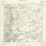
Birmingham - OS One-Inch Map
1950
Ordnance Survey
1:63k
Ordnance Survey of England. Sheet 168, Birmingham
1896
Ordnance survey. GB
1:63k
n/a
1742
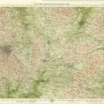
Birmingham, Leicester, Sheet 18 - Bartholomew's "Half Inch to the Mile Maps" of England & Wales
1903
Bartholomew, John George
1:127k
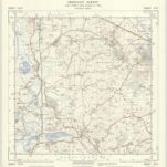
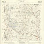
SP29 - OS 1:25,000 Provisional Series Map
1938
Ordnance Survey
1:25k
SP28 - OS 1:25,000 Provisional Series Map
1938
Ordnance Survey
1:25k
SP19 - OS 1:25,000 Provisional Series Map
1937
Ordnance Survey
1:25k
SP18 - OS 1:25,000 Provisional Series Map
1938
Ordnance Survey
1:25k