Maps
Project
Community
My maps
Cataloged map
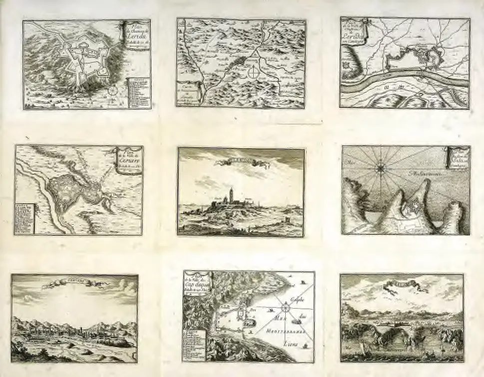
Plan de la ville et chasteau de Lerida en Catalogne
View on external website
Institution:
University Library of Bern
Full title:
Plan de la ville et chasteau de Lerida en Catalogne
Depicted:
1665 - 1680
Publisher:
s.n.
Catalog
University Library of Bern
biblio.unibe.ch
History