Gecatalogiseerde kaart
Brooklyn, Vol. 1, Double Page Plate No. 11; Part of Ward 12, Section 2; [Map bounded by Dikeman St., Dwight St.; Including Eire Basin, Upper Bay]


Volledige titel:Brooklyn, Vol. 1, Double Page Plate No. 11; Part of Ward 12, Section 2; [Map bounded by Dikeman St., Dwight St.; Including Eire Basin, Upper Bay]
Jaar illustratie:1903
Fysieke grootte:20 x 30 cm
Jersey City
1967
1:24k
Jersey City
1967
1:24k
Jersey City
1955
1:24k
Jersey City
1955
1:24k
Jersey City
1947
1:24k
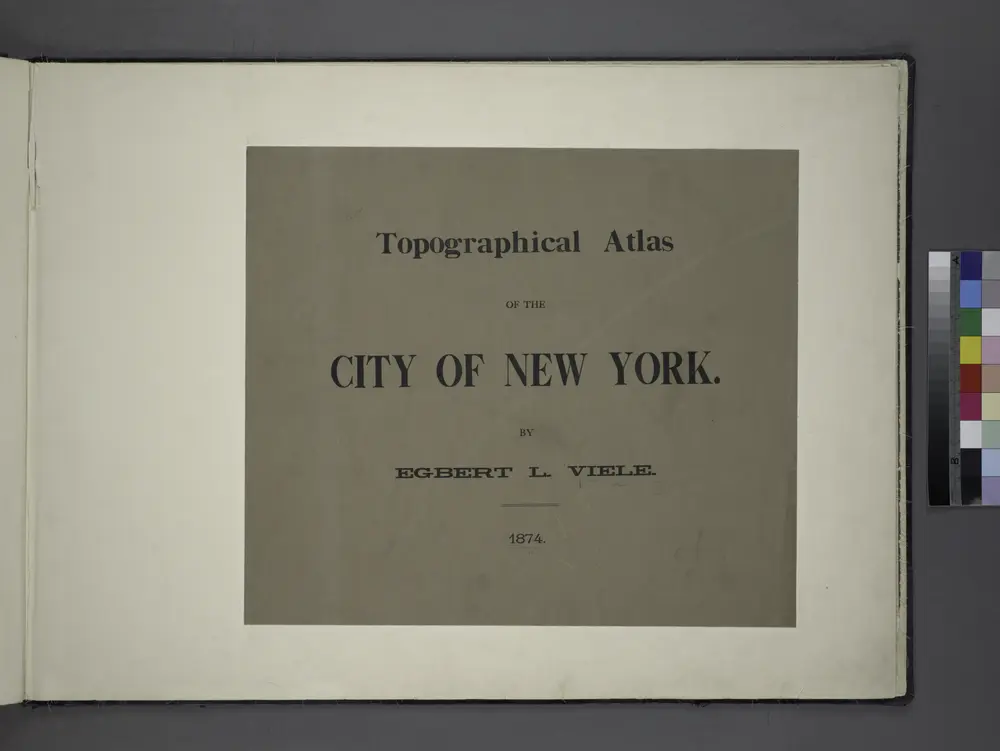
Topographical atlas of the City of New York / by Egbert L. Viele.
1874
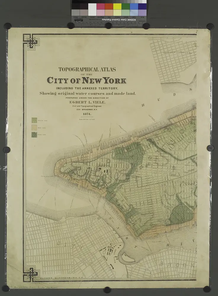
Topographical atlas of the city of New York, including the annexed territory showing original water courses and made land. / prepared under the direction of Egbert L. Viele.
1874
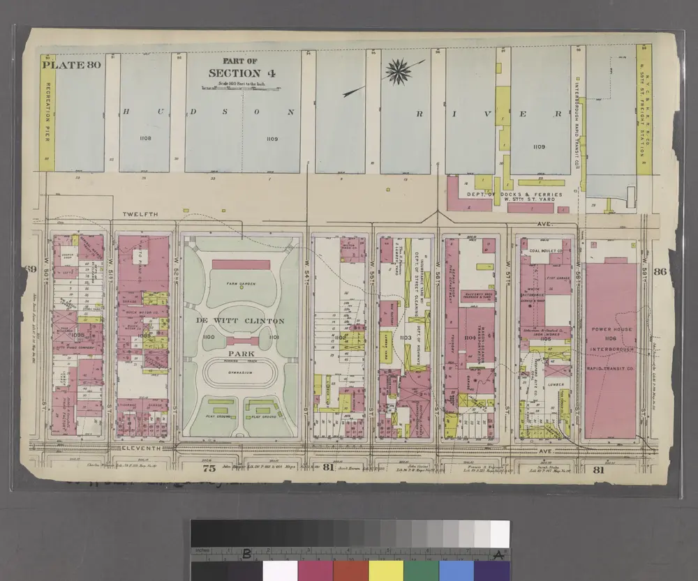
Part of Section 4 : Plate 80.
1916
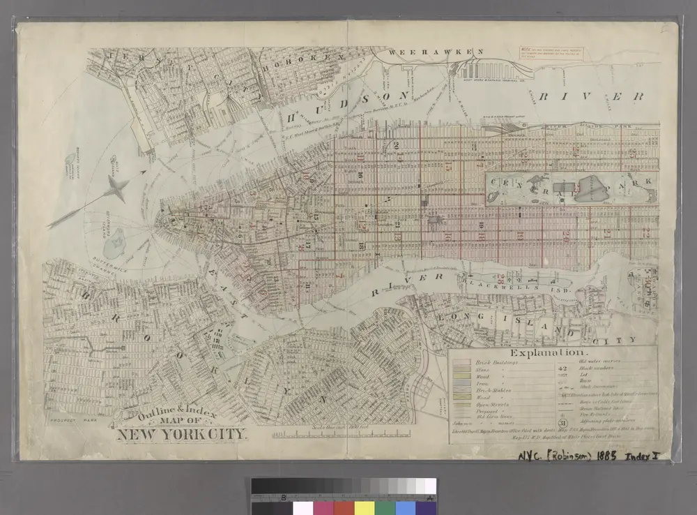
Outline & Index Map of New York City. Index I.
1885

Facsimile of the unpublished British head quarters coloured manuscript map of New York & environs / reproduced from the original drawing in the War Office, London.
1782