Gecatalogiseerde kaart
Map showing the high and low water mark and the original city grants of lands under water made to various parties from 1686 to 1873, extending from Battery to Fifty-first Street, Hudson and East Rivers, New York City, also the several pier and bulkhead l


Volledige titel:Map showing the high and low water mark and the original city grants of lands under water made to various parties from 1686 to 1873, extending from Battery to Fifty-first Street, Hudson and East Rivers, New York City, also the several pier and bulkhead l
Fysieke grootte:20 x 30 cm
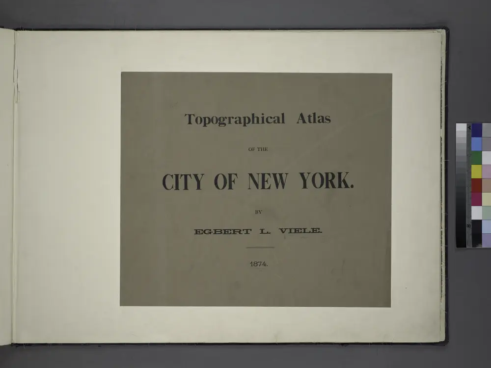
Topographical atlas of the City of New York / by Egbert L. Viele.
1874
Jersey City
1967
1:24k
Jersey City
1967
1:24k
Jersey City
1955
1:24k
Jersey City
1955
1:24k
Jersey City
1947
1:24k
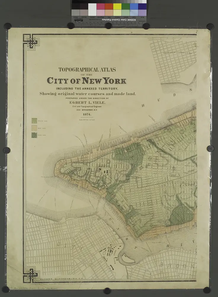
Topographical atlas of the city of New York, including the annexed territory showing original water courses and made land. / prepared under the direction of Egbert L. Viele.
1874
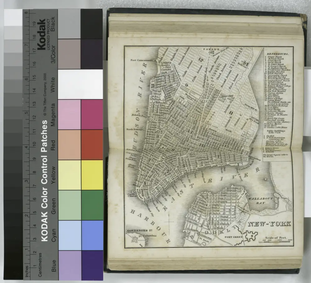
New-York.
1836
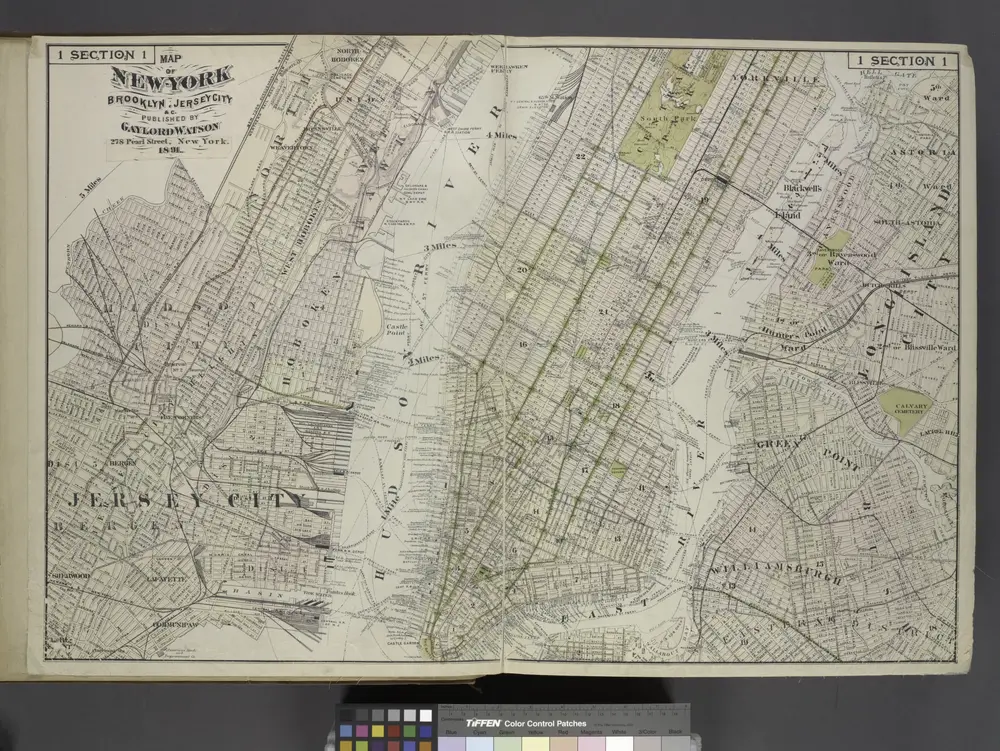
Map of New York, Brooklyn, Jersey City& c.
1891
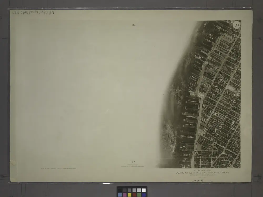
8C - N.Y. City (Aerial Set).
1924