Mapa catalogado
Staffordshire LXVIII.9 (includes: Rowley Regis; Tipton; West Bromwich) - 25 Inch Map
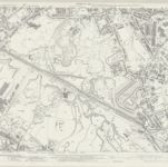

Institución:National Library of Scotland
Título completo:Staffordshire LXVIII.9 (includes: Rowley Regis; Tipton; West Bromwich) - 25 Inch Map
Año de ilustración:1938
Fecha de publicación:1948
Editorial:Ordnance Survey
Escala del mapa:1:2 500