Mapa catalogado
Monmouthshire XX.SW - OS Six-Inch Map
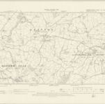

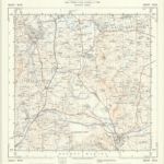
Título completo:Monmouthshire XX.SW - OS Six-Inch Map
Año de ilustración:1899
Fecha de publicación:1902
Editorial:Ordnance Survey
Tamaño físico:20 x 30 cm
Escala del mapa:1:10 560
Monvmethensis comitatvs vernacule Monmovth Shire
1646
Blaeu
New map of the county of Hereford, 3
1754
s.n.
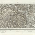
Monmouth (Hills) - OS One-Inch Revised New Series
1894
Ordnance Survey
1:63k
Monmouth (Outline) - OS One-Inch Revised New Series
1894
Ordnance Survey
1:63k
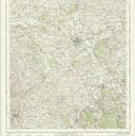
Hereford - OS One-Inch Map
1944
Ordnance Survey
1:63k
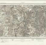
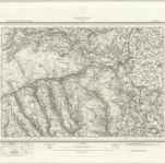
Abergavenny (Hills) - OS One-Inch Revised New Series
1894
Ordnance Survey
1:63k
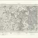
Abergavenny (Outline) - OS One-Inch Revised New Series
1894
Ordnance Survey
1:63k
SO32 - OS 1:25,000 Provisional Series Map
1945
Ordnance Survey
1:25k
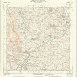
SO31 - OS 1:25,000 Provisional Series Map
1944
Ordnance Survey
1:25k
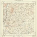
SO30 - OS 1:25,000 Provisional Series Map
1938
Ordnance Survey
1:25k