خريطة مفهرسة
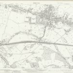
Lancashire XCIII.10 (includes: Billinge And Winstanley; Orrell; Wigan) - 25 Inch Map

المؤسسة:National Library of Scotland
العنوان الكامل:Lancashire XCIII.10 (includes: Billinge And Winstanley; Orrell; Wigan) - 25 Inch Map
مصورة:1938
تاريخ النشر:1941
الناشر:Ordnance Survey
مقياس الخريطة:1:2 500