Mapa catalogado
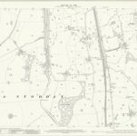
Lancashire XXXIV.7 (includes: Ashton With Stodday; Ellel; Scotforth) - 25 Inch Map

Institución:National Library of Scotland
Título completo:Lancashire XXXIV.7 (includes: Ashton With Stodday; Ellel; Scotforth) - 25 Inch Map
Año de ilustración:1910
Fecha de publicación:1913
Editorial:Ordnance Survey
Escala del mapa:1:2 500