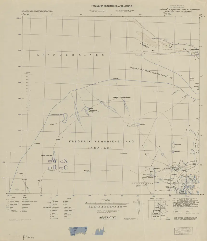
1943
Base Map Plant USASOS SWPA
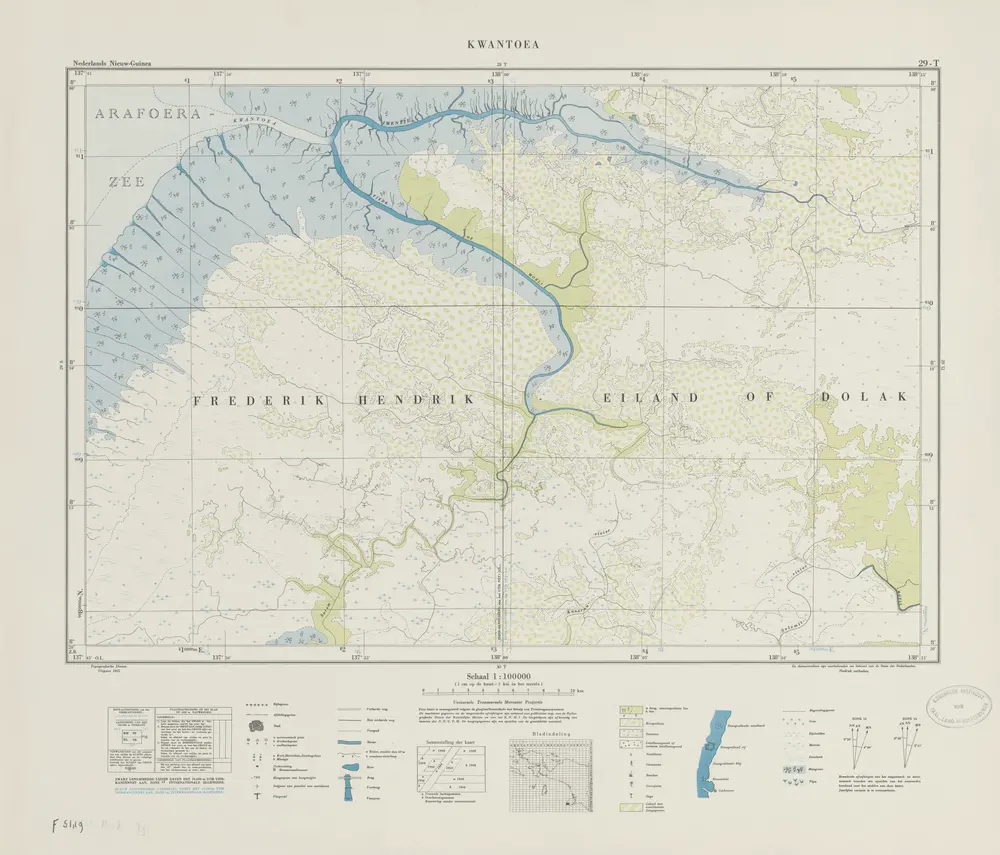
1955
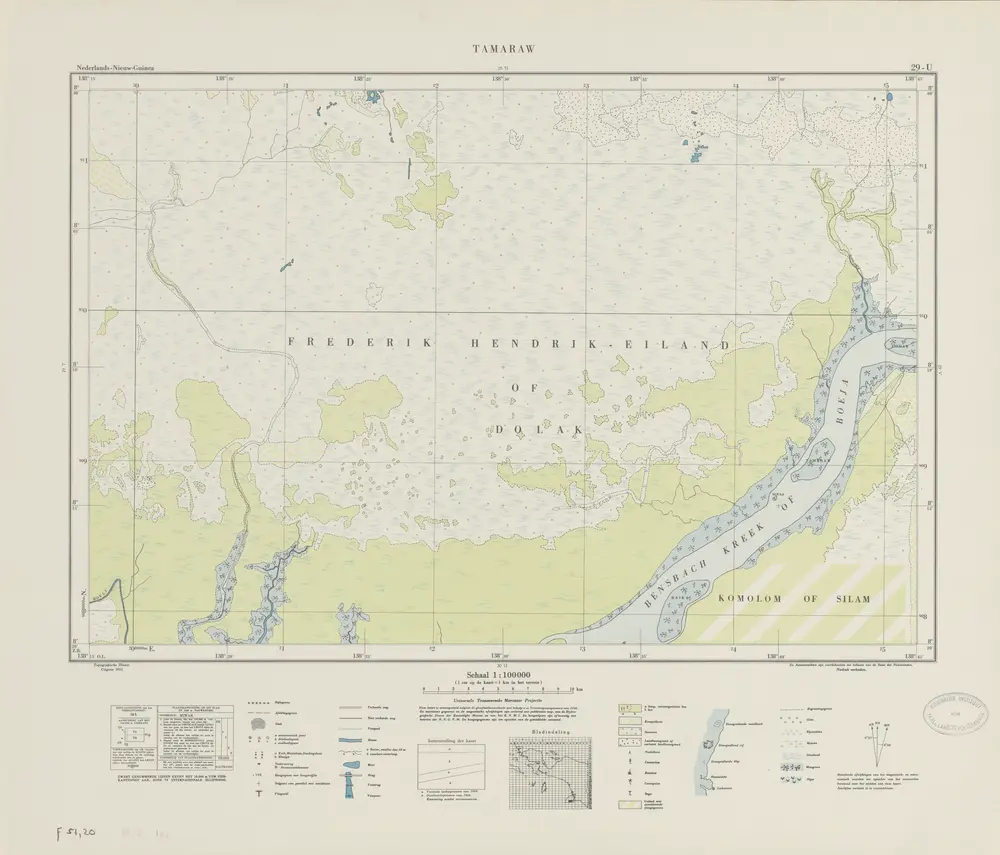
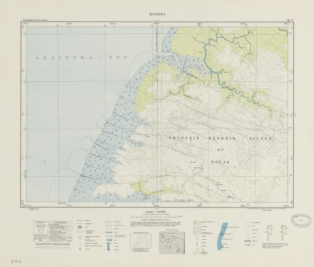
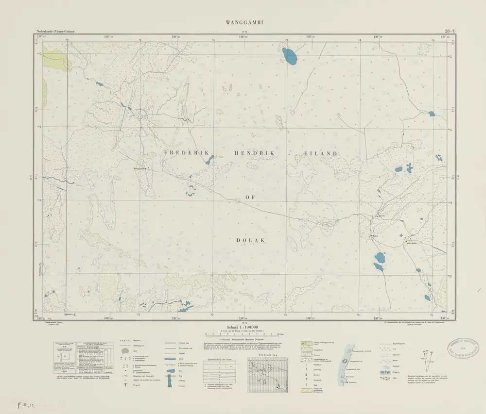
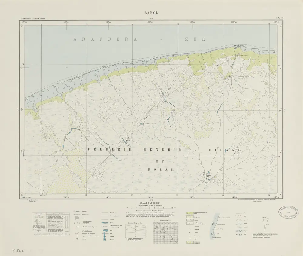
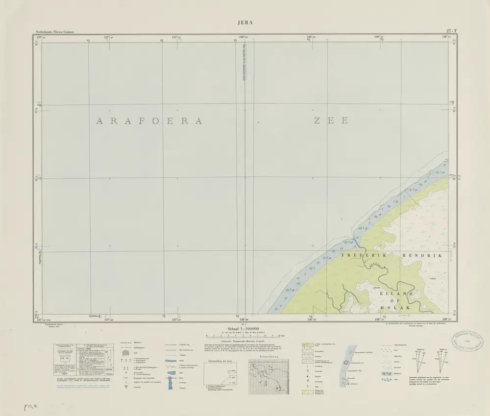
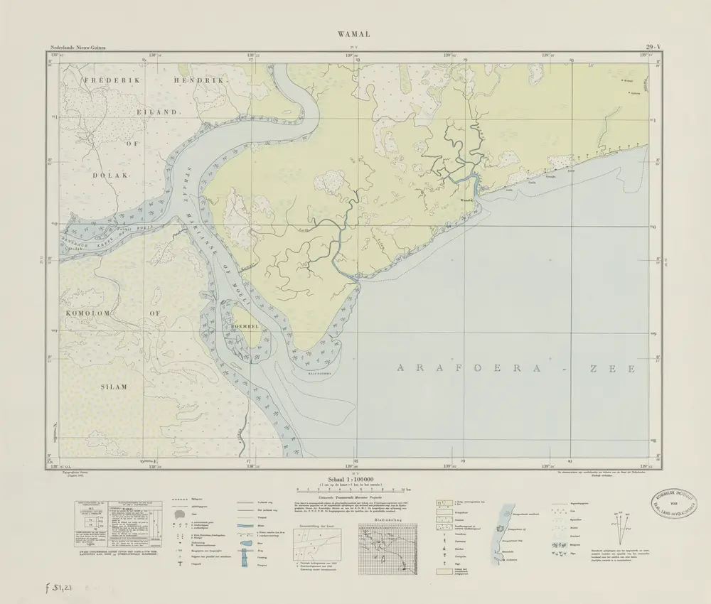
Topografische Dienst Delft
1956
1954
Netherlands Topographic Service Delft
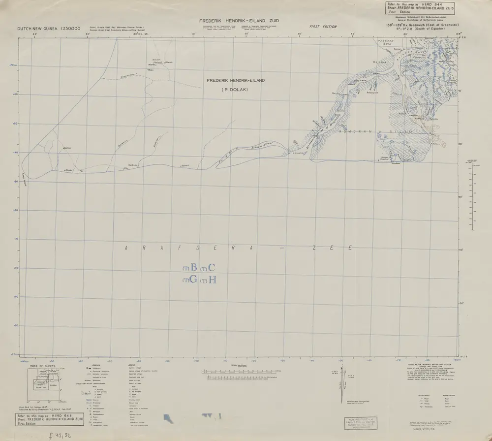
1947
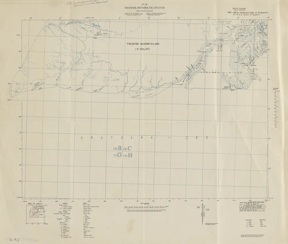
Survey Directorate Head Quarters South East Asia Land Forces (SEALF)