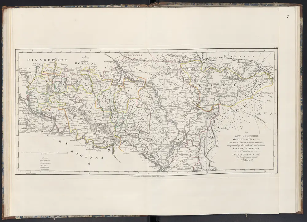
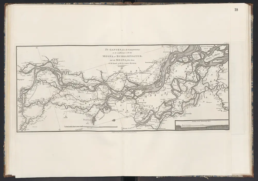
1781
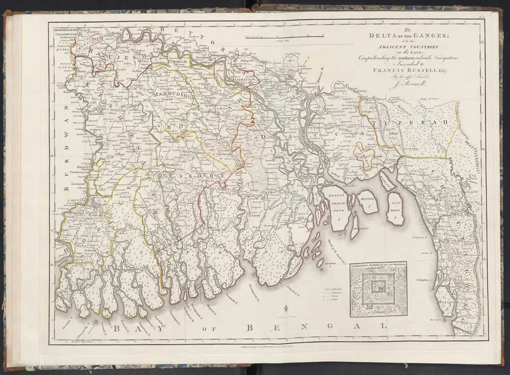
Rennell, James
1794
Robert Laurie & James Whittle
1:750k
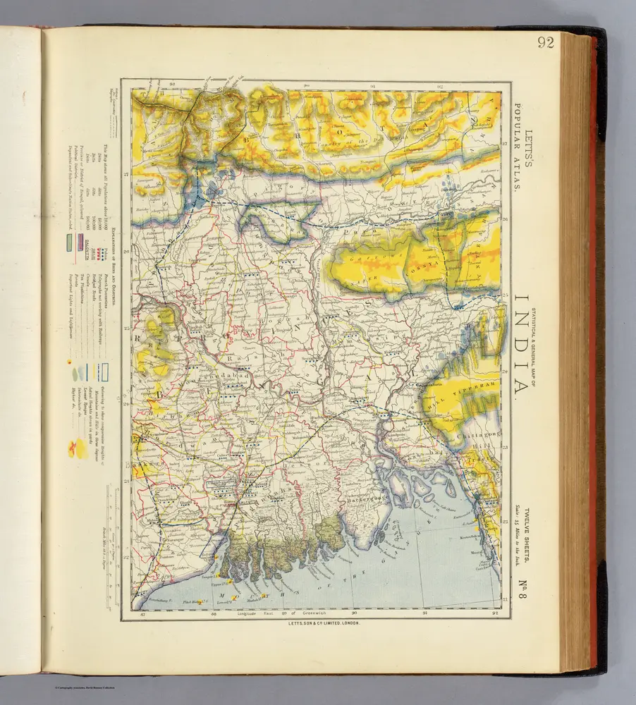
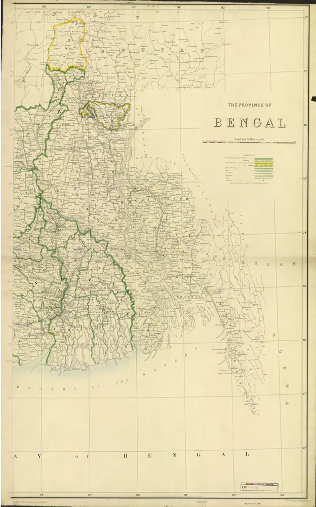
1883
Letts, Son & Co.
1:2m
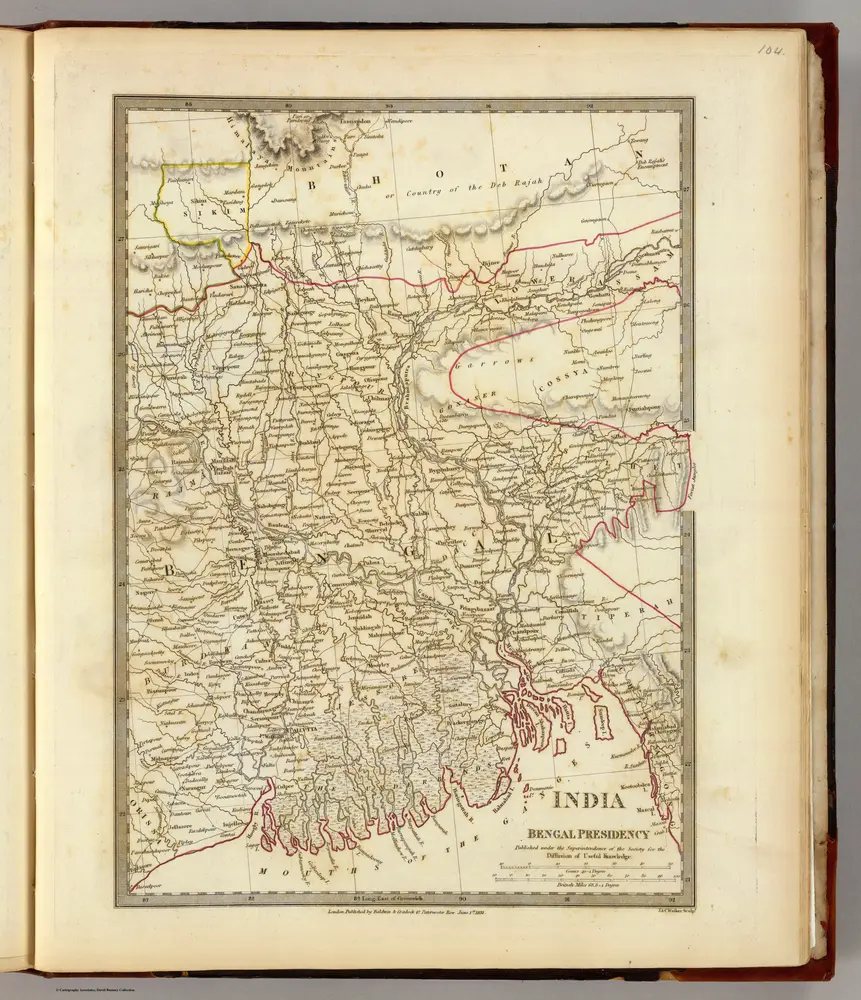
1831
Society for the Diffusion of Useful Knowledge (Great Britain)
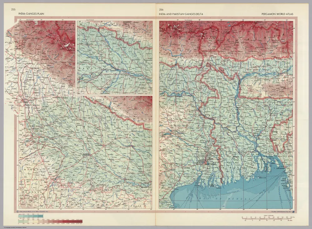
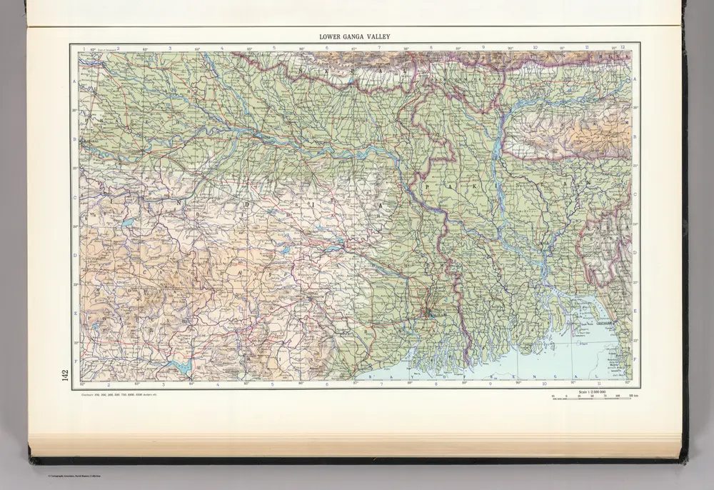
1967
Polish Army Topography Service
1:3m
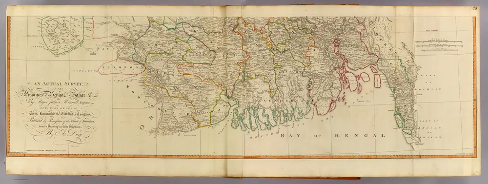
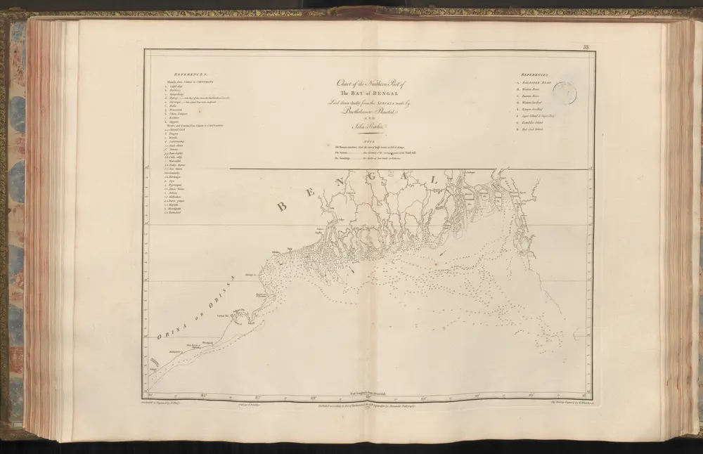
1775
Apres de Mannevillette, Jean-Baptiste Nicolas Denis d'
1907
Survey of India
USSR (Union of Soviet Socialist Republics).