Old maps of Raoul Island

Discover the past of Raoul Island on historical maps

Browse the old maps

Discovering the Cartography of the Past

Raoul Island


Parent places:

Maps of Raoul Island

Maps of Raoul Island

$title$

Chart of Magnetic Curves of Equal Variation.

1 : 86000000 Hughes, William
$title$

World Animal Kingdom. World Productive Industry.

Fisher, Richard Swainson
$title$

Composite: Hemispheres.

1 : 22500000 Brue, Adrien Hubert, 1786-1832
$title$

Ocean Currents and the Great River Basins of The World.

1 : 200000000 Johnson, A.J.
$title$

Climates. Vegetation, Ocean Currents. Temperature. Rainfall.

Hammond, C.S.
$title$

Western and Eastern Hemisphere.

1 : 60000000 Gray, Ormando Willis
$title$

Western Hemisphere. Eastern Hemisphere.

1 : 80000000 Schonberg & Co.
$title$

World on Mercators Projection.

1 : 140000000 Humphries
$title$

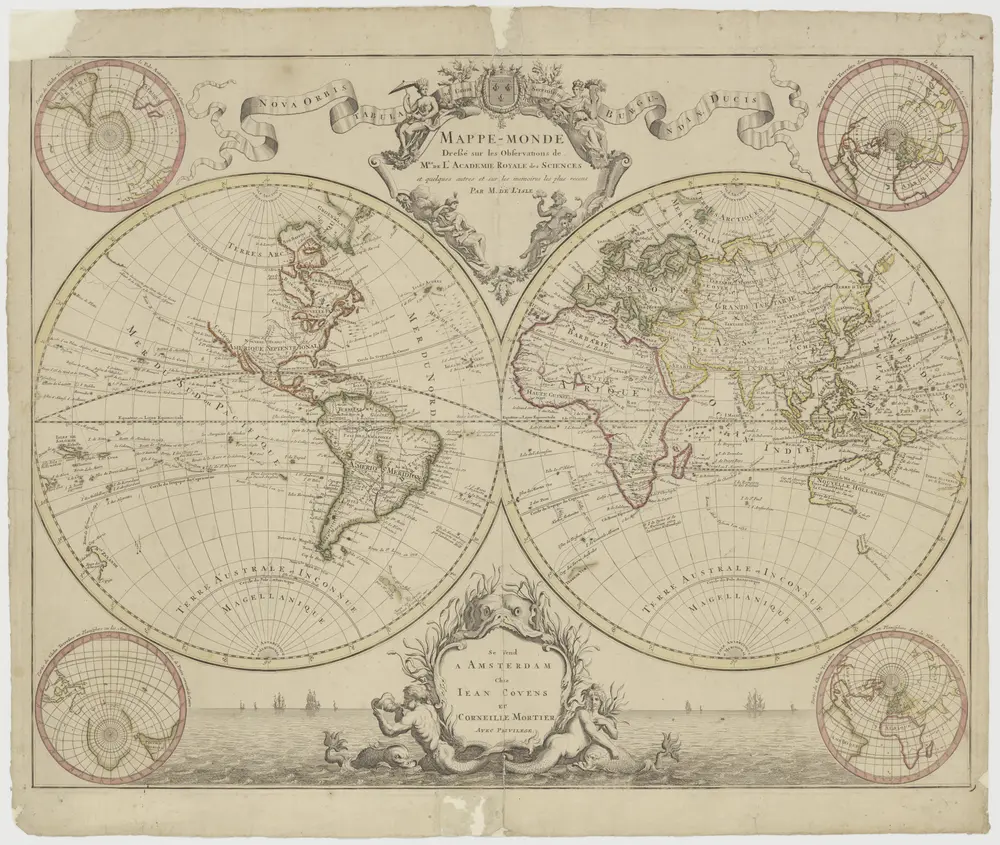
Mappemonde.

1 : 80000000 Montemont, A.
$title$

3. Northern and Southern Hemispheres. The World Atlas.

1 : 100000000 USSR (Union of Soviet Socialist Republics).
$title$

Western Hemisphere. Eastern Hemisphere.

1 : 80000000 Johnson, A.J.
$title$

World, Showing the Circulation of the Winds and the Course of Storms.

1 : 100000000 Johnson, A.J.
$title$

World, Showing the Circulation of the Winds and the Course of Storms.

1 : 100000000 Johnson, A.J.
$title$

Map of the World.

Colton, C.B.
$title$

Christlichen Staaten Systems.

1 : 100000000 Flemming, Carl
$title$

World on Mercator's Projection.

1 : 77000000 Johnson, A.J.
$title$

World on Mercator's Projection.

1 : 77000000 Johnson, A.J.
$title$

America Meridionalis

1 : 27500000 L'Isle, Guillaume de, 1675-1726 C. Weigelii Sen. Hæredum
$title$

Australia.

1 : 11000000 Rand McNally and Company
$title$

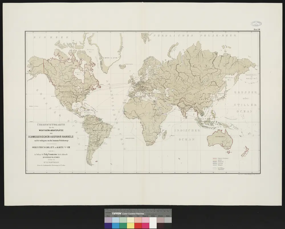
Physikalische Wandkarte der Erde in Merkartor's Projection

$title$

Southern Half, Eastern Hemisphere.

1 : 22500000 Brue, Adrien Hubert, 1786-1832
$title$

Kaart der Vriendelyke eilanden : behoorende tot de door het Provinciaal Utrechtsch Genootschap bekroonde Verhandeling van R.G. Bennet en J. van Wyk Rz.

1 : 9000000 R. van Wyk Jz. del. Te Dordrecht : by J. de Vos & Co.
$title$

Africa. Australia and New Zealand.

1 : 31000000 Schonberg & Co.
$title$

Australasia.

1 : 37000000 Arrowsmith, Aaron; Lewis, Samuel
$title$

Waverley, Sheet 7, 1889

New South Wales. Department of Lands
$title$

Atlas für Handel und Industrie: Für Kaufleute, Fabrikante u. Gewerbetreibende, Handlungs- u. Gewerbe-Schulen

$title$

Australien und der Hinterindische Archipel

Austrálie Biller, Franz
$title$

Carte générale de l'Amérique divisée en ses principaux Etats

1 : 28500000 Delamarche, Félix Paris : F. Delamarche et C. Dien
$title$

Carte de l'Australie : partie Sud-Ouest de l'Océanie

1 : 18500000 réd. par A. Brué [...] d'après des matériaux recueillis jusqu'à ce jour, 1826 Paris : chez Chles. Picquet, quai Conti No. 17, pres du Pont des Arts
$title$

Continent von Australien und Neuseeland

Neuer Handatlas über alle Theile der Erde Kiepert, Heinrich Verlag von Dietrich Reimer
© MapTiler © OpenStreetMap contributors
How does it work?
These instructions will show you how to find historical maps online.
Getting started
Type the place name in the search box to find the exact location. You can further adjust the search by zooming in and out.
Zoom
Zoom in and out with the buttons or use your mouse or touchpad natively.
Exact Area tool
Click here and draw a rectangle over the map to precisely define the search area.
Set filters
Narrow your search with advanced settings, such as Years (from/to), Fulltext, Publisher, etc.
Results
See the results of your search on the right side. You can scroll down to find more maps of this location.
?

Download OldMapsOnline Mobile