1862
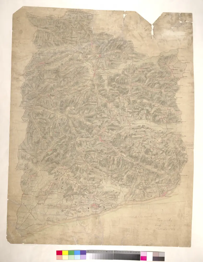
Great Britain. Board of Ordnance
1:63k
1954
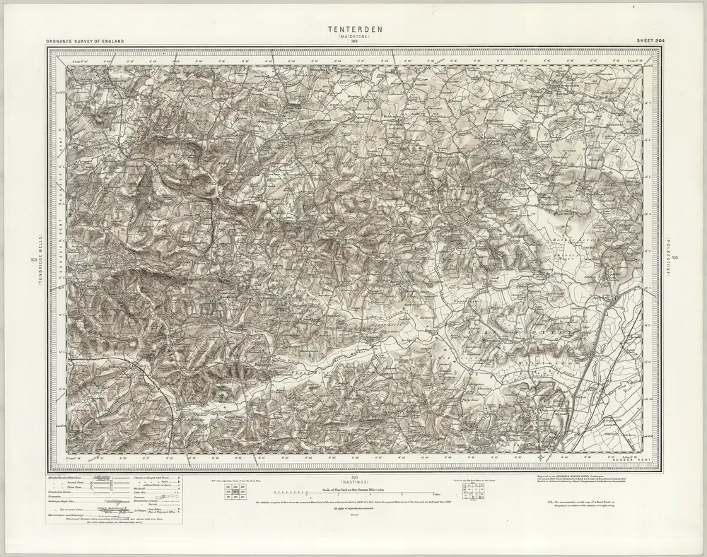
Ordnance Survey
1895
Ordnance Survey Office
1893
1894
1896
1806