Old maps of Srednje-Banatski

Discover the past of Srednje-Banatski on historical maps

Browse the old maps

Discovering the Cartography of the Past

Srednje-Banatski


Parent places:

Related places:

City

Maps of Srednje-Banatski

Maps of Srednje-Banatski

$title$

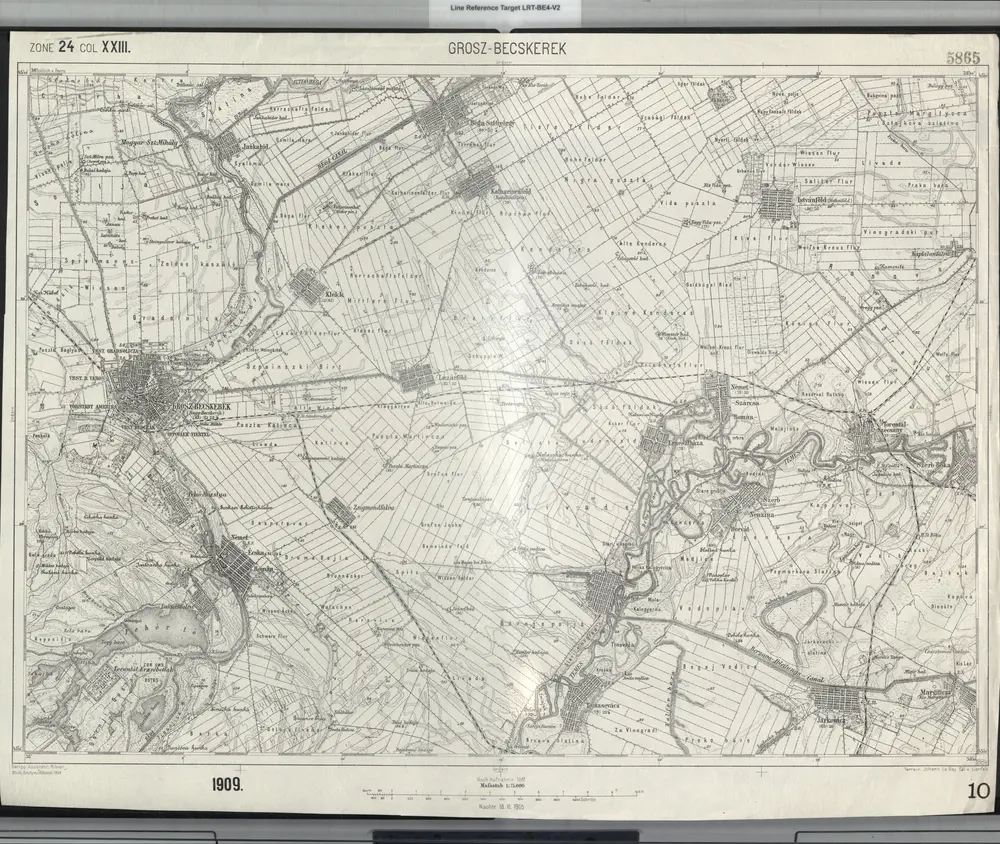
Grosz-Becskerek.

from Spezialkarte der osterreichisch-ungarischen Monarchie.
$title$

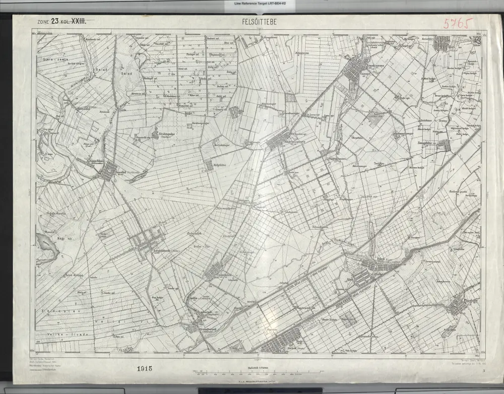
Felsoittebe.

from Spezialkarte der osterreichisch-ungarischen Monarchie.
$title$

A Dunavölgy Átnézeti Térképe, Carte d ́ensemble del la Vallée du Danube XVII.

$title$

Felsőittebe / Kis-Kikinda

1 : 75000 Žitište Gemeindegebiet Geripp: Feldw. Watterich. Terrain: Oberlt. Mirilović
$title$

Grosz-Becskerek

1 : 75000 Zrenjanin Geripp: Assistent Hübner. Terrain: Johann Le Gay Edl. v. Lierfels
$title$

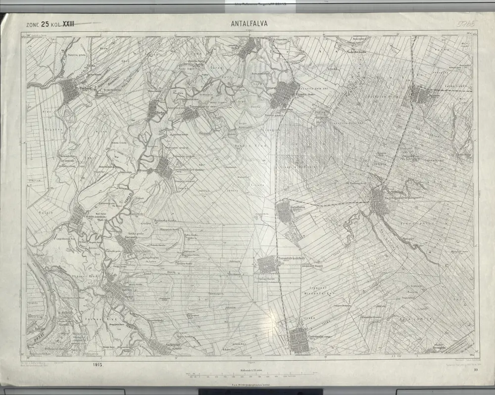
Antalfalva.; Spezialkarte der osterreichisch-ungarischen Monarchie.

from Spezialkarte der osterreichisch-ungarischen Monarchie. Austro-Hungarian Monarchy. Militärgeographisches Institut.,
$title$

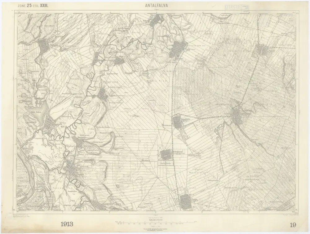
Antalfalva

1 : 75000 Kovačica Geripp: J. Schulenburg. Terrain: Leut. Schmidt
$title$

Antalfalva

1 : 75000 Srbsko Schmidt K. u. k. militär-geographisches Institut
$title$

Lambert-Cholesky sheet 1458 (Srp. Crnja)

1 : 20000 Romanian military topographic map sheet under Lambert-Cholensky projection Direcția Topografică Militară geo-spatial.org Direcția Topografică Militară
$title$

Lambert-Cholesky sheet 1457 (Szerb Ittebe Nord)

1 : 20000 Romanian military topographic map sheet under Lambert-Cholensky projection Direcția Topografică Militară geo-spatial.org Direcția Topografică Militară
$title$

Lambert-Cholesky sheet 1456 (Srpski Itebej)

1 : 20000 Romanian military topographic map sheet under Lambert-Cholensky projection Direcția Topografică Militară geo-spatial.org Direcția Topografică Militară
$title$

Lambert-Cholesky sheet 1455 (Istvanfölde)

1 : 20000 Romanian military topographic map sheet under Lambert-Cholensky projection Serviciul Geografic al Armatei geo-spatial.org Serviciul Geografic al Armatei
$title$

Lambert-Cholesky sheet 1558 (Cenei)

1 : 20000 Romanian military topographic map sheet under Lambert-Cholensky projection Direcția Topografică Militară geo-spatial.org Direcția Topografică Militară
$title$

Lambert-Cholesky sheet 1557 (Uivar)

1 : 20000 Romanian military topographic map sheet under Lambert-Cholensky projection Direcția Topografică Militară geo-spatial.org Direcția Topografică Militară
$title$

Lambert-Cholesky sheet 1556 (Ivanda)

1 : 20000 Romanian military topographic map sheet under Lambert-Cholensky projection Direcția Topografică Militară geo-spatial.org Direcția Topografică Militară
$title$

Lambert-Cholesky sheet 1555 (Ciavos)

1 : 20000 Romanian military topographic map sheet under Lambert-Cholensky projection Direcția Topografică Militară geo-spatial.org Direcția Topografică Militară
$title$

Lambert-Cholesky sheet 1554 (Boka)

1 : 20000 Romanian military topographic map sheet under Lambert-Cholensky projection Direcția Topografică Militară geo-spatial.org Direcția Topografică Militară
$title$

Die Dorfrandzone von Gertianosch

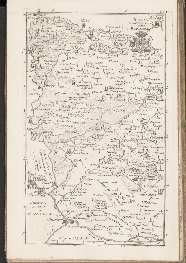
Banat
$title$

C. Torontal

Ungarn Serbien Komitat Torontal
$title$

$title$

Übersichts-Karte von der südlichen und grösseren Hälfte des Temesvarer Banat's

1 : 230000 Banát Petrovics, Paul Sollinger, Johann Paul
$title$

Eigentlicher Entwurf der Weltberühmten Stadt und Vestung Belgrad, samt der auf 13. Meilen sich erstreckenden Gegend

1 : 300000 Mollova mapová sbírka Weigel, Christoph Weigel, Christoph I.
$title$

Environs de Belgrade et de Petervaradin

1 : 390000 Mollova mapová sbírka Baillieul, Gaspard Baillieul, Gaspard
$title$

Sectio XI Palancka - Pelagis

Mollova mapová sbírka Marsili, Luigi Ferdinando
$title$

Neusatz und Peterwarden.

from Spezialkarte der osterreichisch-ungarischen Monarchie.
$title$

Torokbecse.

from Spezialkarte der osterreichisch-ungarischen Monarchie.
$title$

Törökbecse

1 : 75000 Novi Bečej Geripp: Fwkr. Rohn. Terrain: Leut. Tschofen
$title$

Situation Des Marches der Kays. Armee, wie solche Anno 1717 vom 9. bis 21. Iuny. nacher Belgrad marchiret, dieselbe eingeschlossen und Circum- und Contravallations-Linien gezogen und die Belagerung vornehmen können.

1 : 300000 Mollova mapová sbírka Ostertag, Heinrich Jonas Ostertag, Heinrich Jonas
$title$

Neueste Landcarte Der Gränzen von Hungarn, Sclavonien, und Servien, woraus die Gegenden Peterwaradein, Belgrad, Pancsova, etc: anzutreffen sind.

Mollova mapová sbírka Ostertag, Heinrich Jonas Ostertag, Heinrich Jonas
$title$

Neusatz und Peterwardein

1 : 75000 Novi Sad, Petrovaradin Geripp: Fwkr. Rohn. Terrain: Hptm. Stephanie
© MapTiler © OpenStreetMap contributors
How does it work?
These instructions will show you how to find historical maps online.
Getting started
Type the place name in the search box to find the exact location. You can further adjust the search by zooming in and out.
Zoom
Zoom in and out with the buttons or use your mouse or touchpad natively.
Exact Area tool
Click here and draw a rectangle over the map to precisely define the search area.
Set filters
Narrow your search with advanced settings, such as Years (from/to), Fulltext, Publisher, etc.
Results
See the results of your search on the right side. You can scroll down to find more maps of this location.
?

Download OldMapsOnline Mobile