Old maps of British Indian Ocean Territory

Discover the past of British Indian Ocean Territory on historical maps

Browse the old maps

Discovering the Cartography of the Past

British Indian Ocean Territory


Parent places:

Related places:

Island group

Maps of British Indian Ocean Territory

Maps of British Indian Ocean Territory

$title$

Salomon Islands (1907)

Indian Ocean. Principal Groups of the Chagos Archipelago, by Commander R. Moresby ... 1837. (Salomon Islands. Surveyed ... 1905. Natural scale, 1 : 38,180; Salomon Islands. Entrance to Lagoon. Surveyed ... 1905. Natural scale, 1 : 12,130) [Admiralty Chart]
$title$

Charte von Zanguebar der Kafferküste und der Insel Madagascar : nach den neuesten und besten Hülfsmitteln

1 : 6800000 Reinecke, J. C. M. (Johann Christoph Matthias), 1770-1818 Im Verlag des Industrie Comptoirs
$title$

Indes II.

1 : 10000000 Bonne, Rigobert, 1727-1794
$title$

Uebersichts-Karte der ethnographischen Verhältnisse von Asien und von den angrenzenden Theilen Europa'sbearbeitet und herausgegeben mit Unterstützung der kaiserlichen Akademie der Wissenschaften in Wien von Vinzenz v. Haardt

Hartenthurn, Vincenz
$title$

Bez titulu: Indie, Indický oceán

$title$

Oost-Indië : voor de zending bewerkt / door L. Kupérus

1 : 5000000 Annotatie geografische gegevens: Legenda; Inzet: Noord-Halmahera (Utr. Zend. Verg.); Rijnsche Zend. Gen., Java-Comité en Ned. Zend. Gen. in de Bataklanden en Deli (Sumatra); Ambonsche eilanden en Zuid-West Ceram; Talauer eilanden; De Minahasa; Ressort Roon; Sangi Eilanden; Bijkrt.: Java. - 1:1.000.000. - Inzet: Batavia en omgeving 
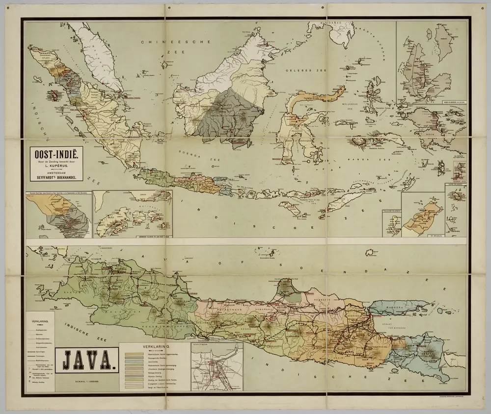
Amsterdam : Seyffardt's Boekhandel / (Amsterdam : Senefelder)
$title$

[Ost Indien, Mit besonderer Berücksichtigung der englischen Besitzungen]

Geographischer Atlas über alle Theile der Erde Ziegler, Jakob Melchior Verlag von Joh. Wurster um Comp.
$title$

Arabian Sea.

1 : 10000000 Philip, George
$title$

India int. Gangem merid. India ext. Gangem, Sinarum situs

1 : 7600000 Ganga (Indie a Bangladéš) Reichard, Christian Gottlieb Campius, D. a D. Campio
$title$

Mittel- und Nord-Africa und Arabien. Östliches Blatt

Stieler's Hand-Atlas Stieler, Adolf bei Justus Perthes
$title$

[Azië], uit: Routekaart van Nederland naar Ned. Indië en terug

1 : 8000000 Annotatie: Samengest. op uitnoodiging der Stoomvaart Maatschappij Nederland Groustra, J. Amsterdam : Seyffardt
$title$

Ostindien

Asie jižní im Verlage des Kunst u. Industrie Comptoirs
$title$

Undecima Asiae Tabula [Karte], in: Claudii Ptolemei viri Alexandrini mathematice discipline philosophi doctissimi geographie opus [...], S. 223.

1 Karte aus Atlas Waldseemüller, Martin [und Ptolemaeus, Claudius] Übelin, Georg
$title$

Ost Indien

Stieler's Hand-Atlas Stieler, Adolf bei Justus Perthes
$title$

Ost Indien mit besonderer Berücksichtigung der englischen Besitzungen

Geographischer Atlas über alle Theile der Erde Ziegler, Jakob Melchior Verlag von Dietrich Reimer
$title$

Uebersichts-Karte der ethnographischen Verhältnisse von Asien und von den angrenzenden Theilen Europa'sbearbeitet und herausgegeben mit Unterstützung der kaiserlichen Akademie der Wissenschaften in Wien von Vinzenz v. Haardt

Hartenthurn, Vincenz
$title$

Islands In The Indian Ocean (with) inset map of Mauritius.

1 : 23760000 Tallis, J. & F.
$title$

CARTE DES INDES ORIENTALES

1 : 10700000 Asie jihovýchodní Mayer, Tobias Apres de Mannevillette, Jean-Baptiste-Nicolas-Denis d' Heritiers de Homan[n]
$title$

Ostindien.

1 : 22000000 Reichard, C. G.
$title$

India

1 : 19000000 Asie jihovýchodní Spruner, Karl von Justus Perthes
$title$

Les Indes Orientales.

1 : 29000000 Lattre, Jean
$title$

Ost-Indien mit den Inseln

Hand-Atlas über alle Theile der Erde nach dem neuesten Zustande und über das Weltgebäude Stieler, Adolf bei Justus Perthes
$title$

Ostindien mit den Inseln

Schul-Atlas über alle Theile der Erde nach dem neuesten Zustande, und über das Weltgebäude Stieler, Adolf bei Justus Perthes
$title$

Composite: Indes.

1 : 10000000 Bonne, Rigobert, 1727-1794
$title$

Ostindien

Neuester Schul-Atlas Walch, Johann im Verlag bei Joh. Walch
$title$

$title$

Indes Orientales.

1 : 16250000 Bonne, Rigobert, 1727-1794
$title$

Ost-Indien

Handatlas über alle Theile der Erde und über das Weltgebäude Stieler, Adolf Justus Perthes
$title$

Ostindien

Allgemeiner Atlas [Walch, Johannes] im Verlag bei Johannes Walch
$title$

Ost-Indien mit den Inseln

Hand-Atlas über alle Theile der Erde nach dem neuesten Zustande und über das Weltgebäude Stieler, Adolf bei Justus Perthes
© MapTiler © OpenStreetMap contributors
How does it work?
These instructions will show you how to find historical maps online.
Getting started
Type the place name in the search box to find the exact location. You can further adjust the search by zooming in and out.
Zoom
Zoom in and out with the buttons or use your mouse or touchpad natively.
Exact Area tool
Click here and draw a rectangle over the map to precisely define the search area.
Set filters
Narrow your search with advanced settings, such as Years (from/to), Fulltext, Publisher, etc.
Results
See the results of your search on the right side. You can scroll down to find more maps of this location.
?

Download OldMapsOnline Mobile