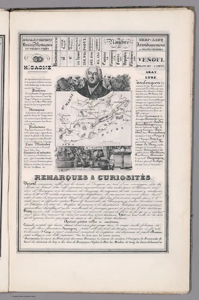
1842
Rivaux, Auguste
1658
Sanson, Nicolas
1708
Schenk, Pieter
1759
Cassini family; Cassini, Cesar-Francois, 1714-1784
1:86k
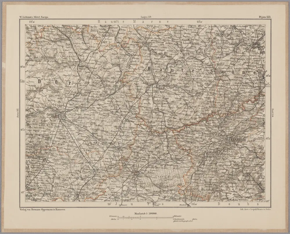
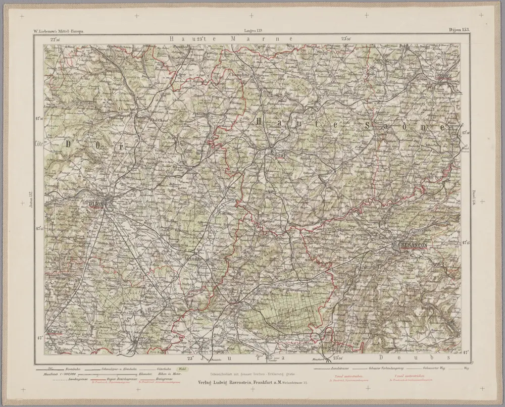
1870
Johannes Wilhelm Liebenow 1822-1897
1:300k
1899
1798
Backler d'Albe, L. A. G.
1:250k
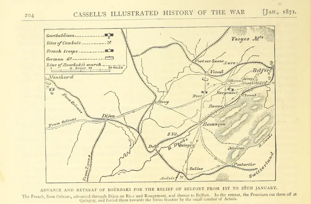
1871
OLLIER, Edmund.