Cataloged map
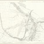
Yorkshire VIII.15 (includes: Brotton; Kilton; Loftus; Skinningrove) - 25 Inch Map

Institution:National Library of Scotland
Full title:Yorkshire VIII.15 (includes: Brotton; Kilton; Loftus; Skinningrove) - 25 Inch Map
Depicted:1893
Pubdate:1894
Publisher:Ordnance Survey
Map scale:1:2 500