Carte cataloguée
Herefordshire XLV.11 (includes: Llanwarne; Much Dewchurch; Orcop) - 25 Inch Map


Institution:National Library of Scotland
Titre complet:Herefordshire XLV.11 (includes: Llanwarne; Much Dewchurch; Orcop) - 25 Inch Map
Année de l'image:1887
Date de publication:1888
Éditeur:Ordnance Survey
Échelle de la carte:1:2 500
Monvmethensis comitatvs vernacule Monmovth Shire
1646
Blaeu
New map of the county of Hereford, 3
1754
s.n.

Monmouth (Hills) - OS One-Inch Revised New Series
1894
Ordnance Survey
1:63k

Monmouth (Outline) - OS One-Inch Revised New Series
1894
Ordnance Survey
1:63k
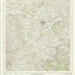
Hereford - OS One-Inch Map
1944
Ordnance Survey
1:63k

Abergavenny (Hills) - OS One-Inch Revised New Series
1894
Ordnance Survey
1:63k

Abergavenny (Outline) - OS One-Inch Revised New Series
1894
Ordnance Survey
1:63k
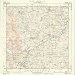
SO32 - OS 1:25,000 Provisional Series Map
1945
Ordnance Survey
1:25k
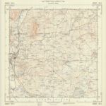
SO31 - OS 1:25,000 Provisional Series Map
1944
Ordnance Survey
1:25k
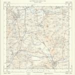
SO30 - OS 1:25,000 Provisional Series Map
1938
Ordnance Survey
1:25k