Carte cataloguée
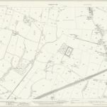
Lancashire CI.6 (includes: Ashton In Makerfield; Billinge And Winstanley) - 25 Inch Map

Institution:National Library of Scotland
Titre complet:Lancashire CI.6 (includes: Ashton In Makerfield; Billinge And Winstanley) - 25 Inch Map
Année de l'image:1938
Date de publication:1939
Éditeur:Ordnance Survey
Échelle de la carte:1:2 500