Maps of Colleton County

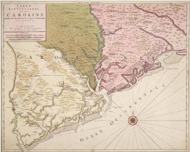
Carte Particuliere de la Caroline
1 : 158400 Map covers the area from the South Edisto River to the Santee River. Relief shown pictorially, depth shown by soundings and bathymetric shading. Shows landowners, rivers, creeks, Native American settlements, mountains, and trees. Sanson, Nicolas, 1600-1667. chez Pierre Mortier
Macon
1 : 250000
Macon
1 : 250000
Macon
1 : 250000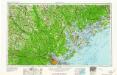
Savannah
1 : 250000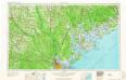
Savannah
1 : 250000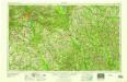
Macon
1 : 250000
Savannah
1 : 250000
Savannah
1 : 250000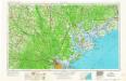
Savannah
1 : 250000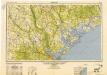
Savannah
1 : 250000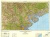
Savannah
1 : 250000
Carte Particuliere De La Caroline [Karte], in: Atlas nouveau, contenant toutes les parties du monde [...], Bd. 2, S. 247.
1 Karte aus Atlas Sanson, Nicolas Jaillot, Alexis Hubert und Mortier, Pieter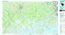
Walterboro
1 : 100000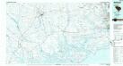
Walterboro
1 : 100000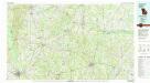
Dublin
1 : 100000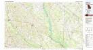
Sylvania
1 : 100000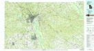
Macon
1 : 100000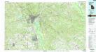
Macon
1 : 100000
Millen
1 : 125000
Colleton District, South Carolina.
1 : 126720 Mills, Robert
Our Brilliant Naval Victory.
1 : 221760 New York Herald
Beaufort District, South Carolina.
1 : 126720 Mills, Robert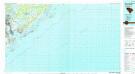
James Island
1 : 100000
James Island
1 : 100000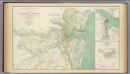
Charleston, defenses.
1 : 78000 Walker, William A.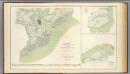
Charleston defenses, Belmont battlefield.
1 : 84000 United States. War Department
Fort Valley
1 : 62500
Fort Valley
1 : 62500
Warner Robins
1 : 62500
Warner Robins
1 : 62500
Jeffersonville
1 : 62500
Jeffersonville
1 : 62500
Wadmelaw Island
1 : 62500
Wadmelaw Island
1 : 62500
Rocky Ford
1 : 62500
Oliver
1 : 62500
Pineland
1 : 62500
Pineland
1 : 62500
Yemassee
1 : 62500
Yemassee
1 : 62500
Yemassee
1 : 62500
Green Pond
1 : 62500
Green Pond
1 : 62500
Edisto Island
1 : 62500
Rocky Ford
1 : 62500
Oliver
1 : 62500
Pineland
1 : 62500
Pineland
1 : 62500
Edisto Island
1 : 62500
Edisto Island
1 : 62500
Wadmelaw Island
1 : 62500
Oliver
1 : 62500
Yemassee
1 : 62500
Yemassee
1 : 62500
Green Pond
1 : 62500
Green Pond
1 : 62500