Maps of Charles Mix County

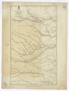
Campaign map of the department of the Platte. sheet no. 1 : comprising that portion of Nebraska
1 : 600000 Jones, William Albert 1841-1914; États-Unis. Corps of Engineers [Omaha, Nebr.] : Engineer Dept., U.S. Army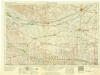
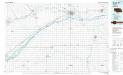
Grand Island
1 : 250000
Grand Island
1 : 250000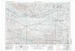
Grand Island
1 : 250000
Grand Island
1 : 250000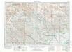
Broken Bow
1 : 250000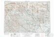
Broken Bow
1 : 250000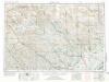
Broken Bow
1 : 250000
Broken Bow
1 : 250000
Broken Bow
1 : 250000
Holt Co.
1 : 211200 Everts & Kirk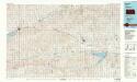
Norton
1 : 100000
Norton
1 : 100000
Smith Center
1 : 100000
Smith Center
1 : 100000
Concordia
1 : 100000
Concordia
1 : 100000
Holdrege
1 : 100000
Holdrege
1 : 100000
Red Cloud
1 : 100000
Red Cloud
1 : 100000
Fairbury
1 : 100000
Fairbury
1 : 100000
Kearney
1 : 100000
Kearney
1 : 100000
Grand Island
1 : 100000
Grand Island
1 : 100000
York
1 : 100000
Broken Bow
1 : 100000
David City
1 : 100000