Maps of United States
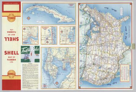
Cuba. Various Regions and Cities in Florida.
Shell Oil Company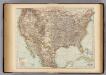
United States.
1 : 10000000 Andree, Richard; Times (London, England)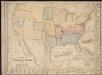
Military map of the United States & territories showing the location of the military posts, arsenals, Navy Yards, & ports of entry

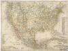
United States of America, 1900.
1 : 16000000 Schlitz Brewing Company
Base-map of the United States
1 : 7000000 U.S. Coast and Geodetic Survey U.S. Coast and Geodetic Survey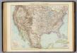
Vereinigte Staaten von Nordamerika.
1 : 10000000 Andree, Richard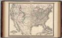
United States.
1 : 8800000 Johnson, A.J.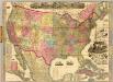
The American Republic and rail-road map of the United States.
1 : 4435200 Watson, Gaylord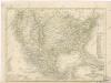
Vereinigte Staaten von Nord - America und Mexico
Vereinigte Staaten von Nord America - und Mexico

Map of the United States of North America: with parts of the adjacent countries / by David H. Burr (late topographer to the Post Office), geographer to the House of Representatives of the U.S.
from Whole David H. Burr,
Composite: United States of North America.
1 : 3984000 Johnston, W. & A.K.
[Map of Spanish Louisiana and the American colonies]
from Whole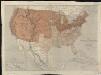
Map of the United States of North America, upper & lower Canada, New Brunswick, Nova Scotia & British Columbia, Mexico, Cuba, Jamaica, St. Domingo and the Bahama Islands
1 : 5800000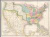
Map of the United States Of North America.
1 : 4118400 Burr, David H., 1803-1875
Dissected Outline Map of the United States of America.
1 : 9504000 Bradley, Milton Company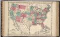
United States.
1 : 8652000 Johnson, A.J.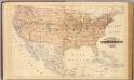
Topographical map of the United States.
1 : 9500000 Andreas, A. T. (Alfred Theodore), 1839-1900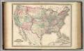
United States.
1 : 8800000 Johnson, A.J.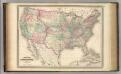
United States.
1 : 8800000 Johnson, A.J.
Verso: American Airlines system map.
American Airlines, inc.
American Airlines system map.
1 : 6336000 American Airlines, inc.
[Vereinigte Staaten v. Nord-Amerika nebst Mexico und Canada]
[Allgemeiner Atlas über alle Theile der Erde in 29 Blättern] Ziegler, Jakob Melchior Top. Anstalt v. J. Wurster u. Comp.
Nord Americanische Freistaaten
Schul-Atlas in 36 Karten Völter, Daniel Verlag der J.M. Dannheimer'schen Buchhandlung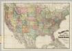
Railroad Map Of The United States.
1 : 3801600 Rand McNally and Company
Verein-Staaten von Nord-America, Mexico, Yucatan u.A.
Hand-Atlas über alle Theile der Erde und über das Weltgebäude Stieler, Adolf Justus Perthes
[Verein-Staaten von Nord-America, Mexico, Yucatan u.A.]
Handatlas über alle Theile der Erde und über das Weltgebäude Stieler, Adolf Justus Perthes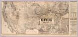
Erie Railway and connections.
1 : 8826000 New York, Lake Erie, and Western Railroad Company
Atlas für Handel und Industrie: Für Kaufleute, Fabrikante u. Gewerbetreibende, Handlungs- u. Gewerbe-Schulen