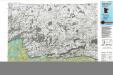
Maps of Keweenaw County
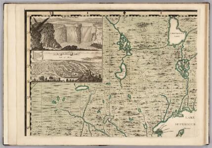
A Map of the British Empire in America. (Sheet 1).
1 : 2000000 Popple, Henry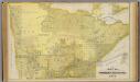
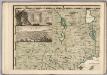
Map of Northern Minnesota, 1874.
1 : 760320 Andreas, A. T. (Alfred Theodore), 1839-1900
Fort William
1 : 250000
Thunder Bay
1 : 250000
Roseau
1 : 250000
Quetico
1 : 250000
Quetico
1 : 250000
Roseau
1 : 250000
International Falls
1 : 250000
National topographic series
1 : 126720 Kanada Office of the Surveyor General
Vermillion Lake
1 : 100000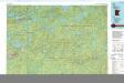
Ely
1 : 100000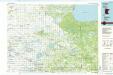
Fosston
1 : 100000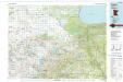
Fosston
1 : 100000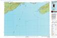
Grand Portage
1 : 100000
Grand Portage
1 : 100000
Siskiwit Bay
1 : 100000
Grand Marais
1 : 100000
Blackduck
1 : 100000
Bigfork
1 : 100000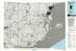
Pigeon Point
1 : 100000
Pigeon Point
1 : 100000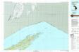
Todd Harbor
1 : 100000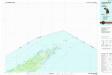
Todd Harbor
1 : 100000
Littlefork
1 : 100000
Crane Lake
1 : 100000
Grygla
1 : 100000
Upper Red Lake
1 : 100000
Basswood Lake
1 : 100000