Maps of Turkey

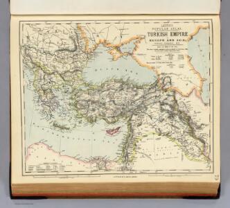
Turkish Empire, Greece, Romania.
1 : 6969600 Letts, Son & Co.
Europaeische und asiatische Türkey
1 : 4300000 Blízký východ Mollo, Tranquillo T. Mollo
Europaeische und asiatische Türkey
1 : 4250000 Blízký východ Mollo, Tranquillo T. Mollo
Uebersichts Karte des russisch - türkischen Kriegsschauplatzes in Europa und Asien
General Karte des Türkischen Reichs (in Europa und Asien)
1 : 6150000 Evropa jihovýchodní Artaria
General Karte des Türkischen Reichs (in Europa und Asien)
1 : 6150000 Asie západní Fried, Franz Artaria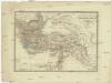
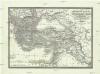
General Karte des Türkischen Reichs in Europa und Asien
1 : 6150000 Asie západní Fried, Franz Artaria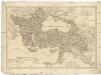
Europaeische und asiatische Türkey
1 : 3530000 Evropa jihovýchodní Mollo, Tranquillo T. Mollo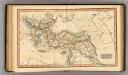
Ottoman Empire.
1 : 14100000 Fenner, Rest.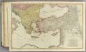
Mediterranean E.
1 : 2850000 Faden, William, 1750?-1836
The Turkish empire in Europe and Asia with the Kingdom of Greece
1 : 8400000 Blízký východ Walker, C. Society for the diffusion of useful knowledge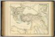
Turkish Empire.
1 : 5702400 Fullarton, A. & Co.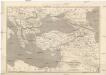
Map of the Ottoman Empire, Kingdom of Greece, and the russian provinces on the Black Sea
1 : 5900000 balkánské země Dower, John
Das Oströmische Reich zur Zeit Karls des Gr.
Byzantinisches Reich
Die Türkey
Evropa jihovýchodní
Turkish Empire, Greece.
1 : 7200000 Society for the Diffusion of Useful Knowledge (Great Britain)
Eastern part of the mediterranean sea with the coasts of Turky Anatolia Syria Egypt and Barbary
1 Blatt : 53 x 68 cm Sayer
Empire Ottoman.
Andriveau-Goujon, J.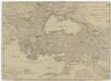
Europaeische und asiatische Türkey
1 : 7100000 Blízký východ Mollo, Tranquillo T. Mollo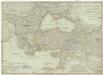
Europaeische und asiatische Türkey
1 : 7100000 Evropa jihovýchodní Mollo, Tranquillo Tranquillo Mollo
Das Osmanische Reich nach seiner größten Ausdehnung im XVII. Jahrhundert.
osmanská říše Benecke Bormann, E. F. Tempsky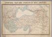
Tooneel van den oorlog in het Oosten / Top. Bureau, Min. van Oorlog
1 : 3000000 Annotatie geografische gegevens: Met 2 schaalstokken Ministerie van Oorlog. Topographisch Bureau ['s-Gravenhage : Top. Bureau, Min. van Oorlog]
Partie orient.le de la mer Méditerranée
1 Karte : Kupferdruck ; 49 x 55 cm Robert de Vaugondy chés l'auteur quay de l'horloge du Palais près le pont neuf
Das Osmanische Reich nebst seinen Schutzstaaten nach seiner grössten Ausdehnung 1682
Osmanisches Reich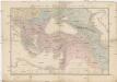
Carte du théatre de la guerre
Asie jihozápadní Andriveau-Goujon, Eugene Monrocq
Das Oströmische Reich zur Zeit Karls des Gr.
Byzantinisches Reich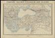
Tooneel van den oorlog in het Oosten
1 : 3000000 Top. Bureau, Min. van Oorlog ['s-Gravenhage] : Top. Bureau, Min. van Oorlog
Das Osmanische Reich nebst seinen Schutzstaaten nach seiner grössten Ausdehnung 1682
Osmanisches Reich