Maps of Maine

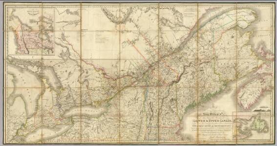
Map of the Provinces of Lower & Upper Canada.
1 : 887040 Wyld, James, 1812-1887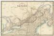
The province of Canada
Kanada Wyld, James James Wyld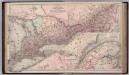
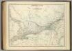
Canada. Provinces of Ontario and Quebec.
1 : 1550000 Colton, G.W.
Canada.
1 : 4100000 Hughes, William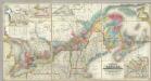
Map Of The Provinces Of Canada.
1 : 887040 Bouchette, Joseph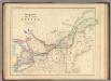
Upper Or Western And Lower Or Eastern Canada.
1 : 3453120 Rogers, Henry Darwin
Eastern Canada.
1 : 4800000 Schonberg & Co.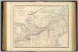
British North America. Sheet II, West.
1 : 2407680 Fullarton, A. & Co.
Karten - Skizzen für die Schul - Praxis
Central Canada.
1 : 2065500 Johnston, Alexander Keith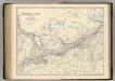
Canada W.
1 : 2065500 Johnston, Alexander Keith, 1804-1871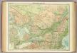
Ontario & Quebec.
1 : 2500000 John Bartholomew and Son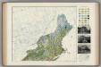
Soil Map of the United States, Section 1. Atlas of American Agriculture.
1 : 2500000 Marbut, Curtis F.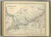
Central Canada.
1 : 2065500 Johnston, Alexander Keith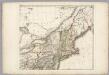
Sheet 2: United States of Nth. America.
1 : 1584000 Tardieu, P.F.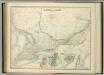
Central Canada.
1 : 2065500 Johnston, W. & A.K.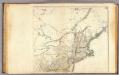
United States 4.
1 : 1750000 Arrowsmith, Aaron
Map of the Vermont Central Rail Road and its connections from Smith's map of the United States.
from Parts
Carte pour servir à l'itinéraire pittoresque du fleuve Hudson et des parties latérales de l'Amerique du Nord
1 : 4200000 Milbert, Jacques Gérard Gaugain, Henri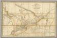
A Map of the Province of Upper Canada.
1 : 1420000 Wyld, James, 1812-1887
G. Woolworth Colton's railroad, township & distance map of New England : with adjacent portions of New York, Canada & New Brunswick
1 : 900000 Colton, G. Woolworth (George Woolworth), 1827-1901 G. Woolworth Colton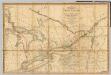
A Map of the Province of Upper Canada.
1 : 1420000 Smyth, David William
A Map of the Province of Upper Canada.
1 : 1420000 Smyth, David William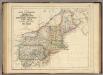
States Of Maine, N. Hampshire, Vermont, Massachusetts, Rhode Island, Connecticut, New York, Pennsylvania, And New Jersey.
1 : 3453120 Rogers, Henry Darwin
Sheet 2: United States of Nth. America.
1 : 1584000 Tardieu, P.F.
Canada, West Sheet.
1 : 2370000 Black, Adam & Charles
United States.
1 : 3380000 Sharpe, J.
Carte réduite des côtes orientales de l'Amérique septentrionale: contenant celles des provinces de New-York et de la Nouvelle Angleterre, celles de l'Acadie ou Nouvelle Ecosse de l'Île Royale de l'Île St. Jean avec l'intérieur du pays / dressée au Dépôt général des cartes, plans et journaux de la marine, pour le service des vaisseaux du roi, par ordre de M. de Sartine, conseiller d'état, ministre et secrétaire d'état ayant le département de la marine; Petit, sculp.
from Parts M. de Sartine,
Upper Canada.
1 : 2200000 Arrowsmith, John