Maps of Pen. De Yucatán
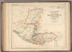
Central America.
1 : 3453120 Rogers, Henry Darwin
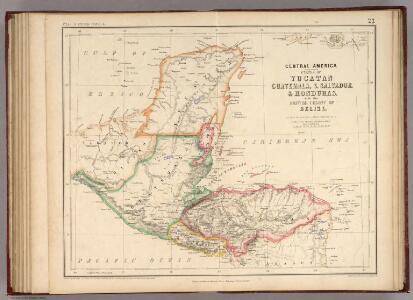
Central America.
1 : 3801600 Tallis, J. & F.
The Bay of Honduras.
1 : 1560000 Jefferys, Thomas
Bay of Honduras.
1 : 1500000 Jefferys, Thomas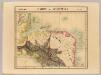
Partie du Guatemala. Amer. Sep. 72.
1 : 1641836 Vandermaelen, Philippe, 1795-1869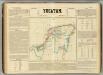
Yucatan.
1 : 1950000 Garcia Cubas, Antonio, 1832-1912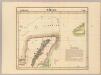
Merida. Amer. Sep. 66.
1 : 1641836 Vandermaelen, Philippe, 1795-1869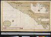
Een gedeelte van de Zuijd Zee aen de kust van Guatimala van R. Haztatlan tot P. de Borica
Central America Gerard van Keulen
Guatemala : from official and other sources, prepared in the Bureau of the American republics, William Woodville Rockhill, director
1 : 792000 Hendges, M Andrew B. Graham, photo-litho.
Yucatan.
1 : 3500000 Garcia Cubas, Antonio, 1832-1912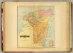
Yucatan.
1 : 1200000 Garcia Cubas, Antonio, 1832-1912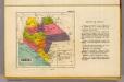
Chiapas.
1 : 3100000 Garcia Cubas, Antonio, 1832-1912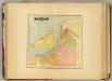
Campeche.
1 : 1200000 Garcia Cubas, Antonio, 1832-1912
Campeche.
1 : 2700000 Garcia Cubas, Antonio, 1832-1912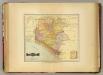
Chiapas.
1 : 1200000 Garcia Cubas, Antonio, 1832-1912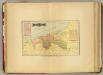
Tabasco.
1 : 2000000 Garcia Cubas, Antonio, 1832-1912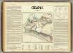
Chiapas.
1 : 990000 Garcia Cubas, Antonio, 1832-1912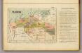
Tabasco.
1 : 3500000 Garcia Cubas, Antonio, 1832-1912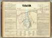
Tabasco.
1 : 735000 Garcia Cubas, Antonio, 1832-1912
Ruatan or Rattan
1 : 140000
Puerto Caballos
1 : 69700 Jeffers Dietrich Reimer
No.6. Map of the River Uspanapa to the Playa del Tigre
1 : 48000 Bruff, J.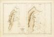
Ile de Saint André (Côte des Mosquitos).
Océan Atlantique ... Ile de Saint André (Côte des Mosquitos). Levée en 1834 par le Comdt. R. Owen ... [Échelle,] 1 : 63,000. [Paris]
Mosquito Coast. Courtown Cays
Mosquito Coast. Courtown Cays. [Admiralty Chart]
Carta geogro topográfica de la isla de Cuba /dedicanla a... Isabel II el teniente general conde de Cuba y la comision de gefes y oficiales militares y agrimensores públicos que la levantó y formó... de 1824 á 1831; Do Estruch lo grabó en Barcelona 1835...
1 : 320000 1 mapa en 6 fulls. Dirección y realización: J.G.J. Valcourt. - Finestres: ciiudad y puerto de la Habana; Santiago de Cuba; Bahia de Cuba; ciudad y bahia de Sn. Carlos de Matanzas; ciudad de Trinidad; Puerto de Casilda; Sta. Maria de Puerto Principe Estruch, Domingo; Roca, Carlos (dibujó); [Valcourt Iznardi, José Gaspar Jasme] Do Estruch y Jordán
No.4. Sketch from the mouth of the Coatzacoalcos River to the town of Mina-Titlan
1 : 36000 Bruff, J.
Tehuantepec.
1 : 730000 Garcia Cubas, Antonio, 1832-1912
Central America.
1 : 3041280 Fullarton, A. & Co.
Amerique Centrale.
1 : 4300000 Vivien St Martin, L.