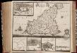
Maps of Sicilia
Roy. de Naples sud, Malte.
1 : 950000 Robert de Vaugondy, Gilles, 1688-1766
[Italien, Blatt 4]
Adolf Stieler's Handatlas über alle Theile der Erde und über das Weltgebäude Stieler, Adolf Justus Perthes

(Italien 2)
1 : 1800000 Flemming, Carl
Italie Meridionale.
1 : 1910000 Migeon, J.
Unter-Italien
1 : 2060000 Itálie jižní Weiland, Karl Ferdinand Kleinknecht, L. V. im Verlage des Geographischen Instituts
Specialia vom Vulkan-Gürtel des Atlantischen Ocean's
Erster Band, enthaltend in vier Abtheilungen die Erscheinungen der anorganischen Natur: 1. Meteorologie und Klimatographie. 2. Hydrologie und Hydrographie. 3. Geologie. 4. Tellurischer Magnetismus Humboldt, Alexander von Verlag von Justus Perthes
A series of maps, modern and ancient. No. 7 : Ancient Italy part III. and Sicily
1 : 1700000 under the superintendence of the Society for the Diffusion of Useful Knowledge J. & C. Walker London : Baldwin and Cradock
A series of maps, modern and ancient. No. 7 : Italy III
1 : 1700000 under the superintendence of the Society for the Diffusion of Useful Knowledge J. & C. Walker London : Baldwin and Cradock
Italy 3.
1 : 1774080 Letts, Son & Co.
Carta d'Italia alla scala di 1 a 1 000 000
1 : 1000000 Südost-Blatt Istituto Geografico Militare (Firenze) Istituto Geografico Militare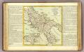
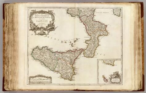
Royaume de Naples.
1 : 1500000 Clouet, J. B. L. (Jean-Baptiste Louis), b. 1730
Italy III.
1 : 1770000 Society for the Diffusion of Useful Knowledge (Great Britain)
Ancient Italy III.
1 : 1770000 Society for the Diffusion of Useful Knowledge (Great Britain)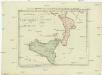
Postkarte von Calabrien und Sicilien
Kalábrie (Itálie) Benedict, Anton im von Reillyschen Landkarten und Kunstwerke Verschleiss Komptoir
Fo. 6, uit: Carta geologica d'Italia
1 : 1000000 Rome : R. Ufficio Geologico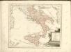

Unter Italien oder das Königreich beider Sicilien
1 : 1200000 Itálie jižní Kiepert, Heinrich Geographisches Institut

Königreich Beider Sicilien nebst dem Südlichen Theile des Kirchenstaats
Hand-Atlas über alle Theile der Erde nach dem neuesten Zustande und über das Weltgebäude Stieler, Adolf bei Justus Perthes
[Südliches Jtalien enthält Neapel und Sicilien]
Stieler's Hand-Atlas Stieler, Adolf bei Justus Perthes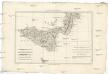
Partie méridionale du royaume de Naples et celui de l'isle de Sicile
1 : 1770000 Neapol-oblast (Itálie) Bonne, Rigobert André
Südliches Italien enthält Neapel und Sicilien nebst dem südlichen Theile des Kirchenstaates
Hand-Atlas über alle Theile der Erde nach dem neuesten Zustande und über das Weltgebäude Stieler, Adolf bei Justus Perthes
Tableau l'historie du Royaume de Naples et de Sicile.
1 : 4300000 Duval, Henri
Königreich beider Sicilien nebst Südlichen Theile des Kirchenstaats / [Adolf Stieler]
1 : 1850000 Annotatie: Met administratieve indeling Gotha : Justus Perthes
Regnum Neapolis Siciliae et Lipariae insulae multis locis correctae novissima descriptio
1 : 1100000 2 Karten auf 1 Blatt : Kupferdruck ; 54 x 47 cm und 14 x 17 cm, auf Blatt 62 x 53 cm Danckerts, Justus [Danckerts]
Kingdom of Naples or The Two Sicilies.
1 : 2550000 Tanner, Henry S.
Kingdom of Naples or The Two Sicilies.
1 : 2500000 Tanner, Henry S.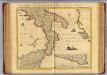
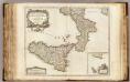
Naples et Sicile.
1 : 1240000 Covens et Mortier