Maps of France

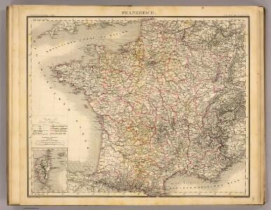
Frankreich.
1 : 2400000 Stein, Christ. Gottfr. Dan.
Carte géologique de la France 1/1 000 000
1 : 1000000 Francie Beranger, Charles Ministere des Travaux publics
Carte elémentaire de la navigation du royaume
1 Karte : Kupferdruck ; 46 x 70 cm Fer de la Nouerre; Dupuis chez l'auteur rue Guénégaud n.o 30
Postcharte von Franckreich auf das Iahr 1787
1 Karte : Kupferdruck ; 62 x 61 cm Jaillot s.n.
Carte des postes de France pour l'année 1783
1 Karte : Kupferdruck ; 63 x 63 cm Desnos; Jaillot chez Desnos ingénieur-géographe et libraire de Sa Majesté danoise rue St. Jacques au globe et à la sphére
Carte du royaume de France où sont tracées exactement les routes des postes
1 Karte : Kupferdruck ; 46 x 50 cm Robert de Vaugondy; Haussard s.n.
Frankreich von 1610 bis 1790.
1 : 3800000 Spruner von Merz, Karl
[Frankreich]
Francie
France
A new general atlas of modern geography, consisting of a complete collection of maps of the four quarters of the globe Wyld, James James Wyld
Communications Rapie du Territoire Francais.
Jouvet et Cie.
France.
1 : 3500000 Schonberg & Co.
France, en 86 Departemens.
1 : 3900000 Monin, C.V.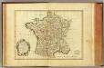
France, carte generale.
1 : 3500000 Bonne, Rigobert, 1727-1794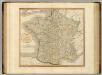
France.
1 : 2250000 Cary, John, ca. 1754-1835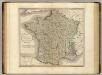
France.
1 : 2250000 Cary, John, ca. 1754-1835
France Historique.
Andriveau-Goujon, J.
GALLIA Vulgo LA FRANCE
1 : 2400000 Francie Visscher, Nicolaes Jansz. ex officina Nicolai Visscher
Frankreich von 1461 bis 1610.
1 : 3800000 Spruner von Merz, Karl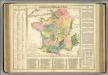
France.
1 : 3600000 Lavoisne, M.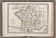
France.
1 : 3900000 Monin, C.V.
Accuratissima Galliae tabula vulgo royaume de France
1 : 2400000 Francie Danckerts, Justus I. Danckerts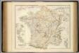
France And Its Principal Foreign Possessions.
1 : 2400000 Fullarton, A. & Co.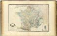
France.
1 : 2250000 Garnier, F. A., 1803-1863
France, provinces.
1 : 2900000 Lizars, Daniel
France.
1 : 5000000 Arrowsmith, Aaron; Lewis, Samuel
France.
1 : 5000000 Arrowsmith, Aaron; Lewis, Samuel
France (outline)
1 : 5000000 Patteson, Edward
France.
1 : 5000000 Patteson, Edward
France, departments.
1 : 4500000 Tanner, Henry S.