Maps of Gillam
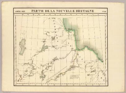
Partie, Nouvelle Bretagne. Amer. Sep. 26.
1 : 1641836 Vandermaelen, Philippe, 1795-1869
Manitoba.
Rand McNally and Company
Western Canada.
1 : 5955840 Johnston, Alexander Keith
191-192. Canada, West. The World Atlas.
1 : 5000000 USSR (Union of Soviet Socialist Republics).
Canada, N. pt. Louisiana.
1 : 7700000 Jefferys, Thomas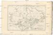
Canada
1 : 10120000 Kanada Bonne, Rigobert André
Facsimile: Devine's Northwest Part of Canada (portion).
1 : 9000000 Devine, Thos.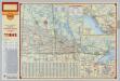
Shell Manitoba - Saskatchewan. Alaska Highway. Calgary. Edmonton.
1 : 3041280 Shell Oil Company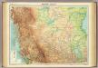
Western Canada.
1 : 5000000 John Bartholomew and Son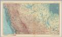
Canada - British Columbia, and Prairie Provinces. Pergamon World Atlas.
1 : 5000000 Polish Army Topography Service
Northwest Territories.
1 : 2471000 Rand McNally and Company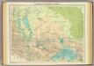
Manitoba & North-west Ontario.
1 : 2500000 John Bartholomew and Son
Map of the province of Ontario, dominion of Canada
1 : 2217600 Ontario Department of Lands, Forests & Mines, Bureau of Colonization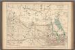
No.12, Telegraphs : Manitoba, Saskatchewan and Alberta
1 : 2217600 Canada. Department of Interior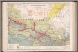
Manitoba, Saskatchewan and Alberta railway territories
1 : 2217600 Chalifour, J.E.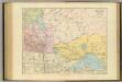
Manitoba.
1 : 2154240 Stanford, Edward
Alberta & Saskatchewan.
1 : 2500000 John Bartholomew and Son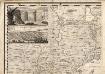
A Map of the British Empire in America. (Sheet 1).
1 : 2000000 Popple, Henry
Saskatchewan.
1 : 1394000 Rand McNally and Company
Saskatchewan.
Rand McNally and Company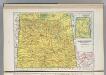
Saskatchewan.
1 : 2012000 Hammond, C.S.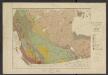
Atlas of Canada. No. 4, Geology, west sheet
1 : 6336000 Canada. Ministère de l'intérieur [Ottawa] : Canada, Department of the Interior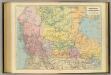
British Columbia, North West Territory.
1 : 5274720 Stanford, Edward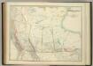
Western Canada.
1 : 5955840 Johnston, W. & A.K.
West-Canada und Britisch Columbia
Adolf Stieler's Handatlas über alle Theile der Erde und über das Weltgebäude Stieler, Adolf Justus Perthes
A Map Of The United States Of Mexico.
1 : 5195520 Tanner, Henry S.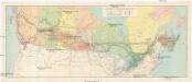
Canadian national railways
1 : 4730000 Kanada
Pulp & paper map of Canada
1 : 6270000 Kanada Department of the Interior
Map of the Missouri; of the higher parts of the Mississippi.
1 : 8500000 Tardieu, P.F.