Maps of Ennadai
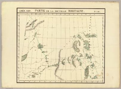
Partie, la Nouvelle Bretagne. Amer. Sep. 16.
1 : 1641836 Vandermaelen, Philippe, 1795-1869
Mackenzie.
1 : 5892000 Rand McNally and Company
191-192. Canada, West. The World Atlas.
1 : 5000000 USSR (Union of Soviet Socialist Republics).
Western Canada.
1 : 5000000 John Bartholomew and Son
Facsimile: Devine's Northwest Part of Canada (portion).
1 : 9000000 Devine, Thos.
Shell Manitoba - Saskatchewan. Alaska Highway. Calgary. Edmonton.
1 : 3041280 Shell Oil Company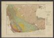
Atlas of Canada. No. 4, Geology, west sheet
1 : 6336000 Canada. Ministère de l'intérieur [Ottawa] : Canada, Department of the Interior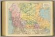
British Columbia, North West Territory.
1 : 5274720 Stanford, Edward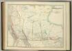
Western Canada.
1 : 5955840 Johnston, W. & A.K.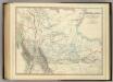
Western Canada.
1 : 5955840 Johnston, Alexander Keith
Wind and current chart of the North-Pacific
1 : 4000000 Maury, Matthew Fontaine [United States Hydrographical Office]
Facsimile: Pinkerton's British Possessions in North America (portion).
1 : 8200000 Pinkerton
West-Canada und Britisch Columbia
Adolf Stieler's Handatlas über alle Theile der Erde und über das Weltgebäude Stieler, Adolf Justus Perthes
A Map Of The United States Of Mexico.
1 : 5195520 Tanner, Henry S.
Map of the Missouri; of the higher parts of the Mississippi.
1 : 8500000 Tardieu, P.F.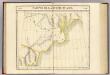
Partie, Russie d'Asie. Asie 19.
1 : 1641836 Vandermaelen, Philippe, 1795-1869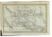
Charte von Mackenzie's Reisen von Montreal zu dem nördlichen Eis- und dem stillen Meere
1 : 18500000 Landes-Industrie-Comptoir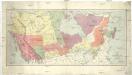
Map of the Dominion of Canada
1 : 6210000 Kanada Department of the Interior, Surveys Branch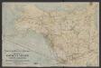
Map of Canadian Pacific Railway and connections showing routes to the Yukon gold fields, Alaska, Klondike : and the Northwestern mining territories of Canada
1 : 6336000 Chicago [Ill.] : Poole Bros.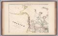
Facsimile: Arrowsmith's America (portion).
1 : 10220000 Arrowsmith, Aaron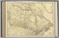
Canada.
1 : 8554000 Rand McNally and Company
Le Canada Ou Partie Dela Nouvelle France. Contenant La Terre De Labrador La Nouvelle France, Les Isles De Terre Neuve, de Nostredame &c: [Karte], in: Atlas nouveau, contenant toutes les parties du monde [...], Bd. 2, S. 250.
1 Karte aus Atlas Sanson, Nicolas Jaillot, Alexis Hubert und Mortier, Pieter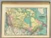
British America.
1 : 11500000 Rand McNally and Company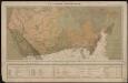
Le Canada catholique
1 : 6300000 [Lyon : Oeuvre de la propagation de la foi]
Uebersichts-Karte der ethnographischen Verhältnisse von Asien und von den angrenzenden Theilen Europa'sbearbeitet und herausgegeben mit Unterstützung der kaiserlichen Akademie der Wissenschaften in Wien von Vinzenz v. Haardt
Hartenthurn, Vincenz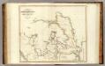
Arctic Regions.
1 : 19000000 Thomson, John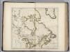
British Possessions in North America.
1 : 9100000 Carey, Mathew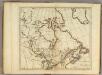
British Possessions in North America.
1 : 9000000 Carey, Mathew
British Possessions in North America.
1 : 6969600 Carey, Mathew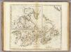
British Possessions in North America.
1 : 7603200 Carey, Mathew
British Possessions in North America.
1 : 7286400 Lewis, Samuel