Maps of Virginia

Maps of Virginia

$title$

Virginia.

1 : 1480000 Rand McNally and Company
$title$

Del., Md., Va., W. Va.

1 : 1970000 Rand McNally and Company
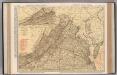
$title$

Virginia.

1 : 868000 Rand McNally and Company
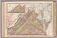
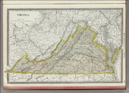
$title$

Virginia.

1 : 887000 Rand McNally and Company
$title$

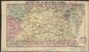
Military map of Maryland & Virginia

1 : 4400000 Charles
$title$

Virginia.

1 : 2040000 Tanner, Henry S.
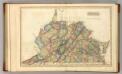
$title$

Virginia.

1 : 1650000 Lucas, Fielding Jr.
$title$

Virginia.

1 : 1930000 Mitchell, Samuel Augustus
$title$

Virginia.

1 : 1930000 Mitchell, Samuel Augustus
$title$

Virginia. West Virginia.

1 : 2000000 Colton, G.W.
$title$

Virginia.

1 : 2550000 Finley, Anthony
$title$

Virginia.

1 : 2450000 Lucas, Fielding Jr.
$title$

Virginia.

1 : 1650000 DeSilver, Robert
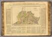
$title$

Virginie.

1 : 1650000 Buchon, J. A. C.; Carey, H. C.; Lea, I.
$title$

Virginia.

1 : 2500000 Tanner, Henry S.
$title$

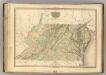
Virginia, Maryland, Delware.

1 : 1120000 Tanner, Henry S.
$title$

Virginia and West Virginia.

1 : 2000000 Colton, G.W.
$title$

Virginia.

1 : 2000000 Colton, G.W.
$title$

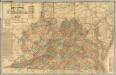
Lloyd's official map of the State of Virginia.

1 : 650000 Lloyd, J. T.
$title$

Schonberg's Map of Virginia and West Virginia.

1 : 1900000 Schonberg & Co.
$title$

Virginia, Maryland, Washington D.C.

1 : 1518000 Finley, Anthony
$title$

Virginia, Maryland & Delware.

1 : 3200000 Black, Adam & Charles
$title$

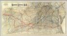
Map Richmond and Louisville R.R.

1 : 750000 G.W. & C.B. Colton & Co.
$title$

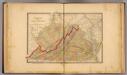
Virginia, W. Virginia.

1 : 1500000 Rand McNally and Company
$title$

Virginia

1 : 1900000 Annotatie: Gerestaureerd en op Japans papier geplakt New York, [N.Y.] : J.H. Colton & Co.
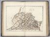
$title$

Virginia.

1 : 1630000 Carey, Mathew
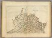
$title$

Map of Virginia.

1 : 1600000 Carey, Mathew
$title$

Virginia.

1 : 2900000 Lewis, Samuel
$title$

Virginia.

1 : 2900000 Lewis, Samuel
$title$

Prang's War Map. Eastern and Western Viginia

This map details the Upper South/Border States in 1861. Smaller maps show the North Carolina coastline and Virginia in detail. Around the border are ten ‘eminent patriots’, the leading generals of the Union Army at the time of the map’s production. Amongst them is General Anderson, who attempted to defend Fort Sumter at the outbreak of the war, General Burnside with the facial hair that would inspire the description ‘sideburns’ and General Meagher who commanded battalions principally composed of Irish-born and descended soldiers. On the top right is General George B. McClellan, commander of the Army of the Potomac and general-in-chief of Union forces in the first part of the war. He later ran for the presidency in 1864. All these generals led campaigns in the regions depicted on the map. L. Prang & Co.
© MapTiler © OpenStreetMap contributors
How does it work?
These instructions will show you how to find historical maps online.
Getting started
Type the place name in the search box to find the exact location. You can further adjust the search by zooming in and out.
Zoom
Zoom in and out with the buttons or use your mouse or touchpad natively.
Exact Area tool
Click here and draw a rectangle over the map to precisely define the search area.
Set filters
Narrow your search with advanced settings, such as Years (from/to), Fulltext, Publisher, etc.
Results
See the results of your search on the right side. You can scroll down to find more maps of this location.
?

Download OldMapsOnline Mobile